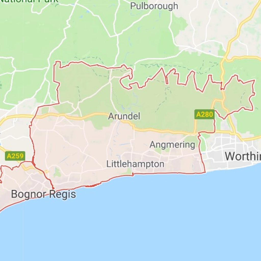
Flood Risk Assessment Arun District
If you need a flood risk assessment or a drainage assessment for any kind of property or development within the Arun District area then get in touch with our experienced team today.
Fill out the form on the right, call 01293 214444 or contact us.
This page is designed to provide all the relevant information regarding flooding and planning legislation in the Arun Disrict Council area. This page contains planning information, flooding contacts, historic flood information and more.
National Planning Policy Framework
National Planning Policy Framework aims to reduce flood risk through development opportunities. The policy framework aims to ensure flood risks and the predicted effects of climate change have been taken into account and appropriate measures put in place to ensure that:
- The development is safe
- Where possible the flood risk overall is reduced
- Increased flood risk does not occur elsewhere
- Appropriate mitigation measures are employed to deal with these effects and risks.
The National Planning Policy Framework requires Planning Authorities to apply a sequential approach to planning and flood risk by placing development in areas of low flood risk before allocating sites in areas of higher risk sequentially and by exception following the processes of the Sequential and Exception Tests.
Arun District Council Local Plan (2003)
The Arun District Council Local Plan 2003 policies will remain effective until replaced by the new Arun Local Plan.
Flood related policies of the currently adopted Local Plan which are relevant to development in the Arun District are as follows:
POLICY GEN9 Foul and Surface Water Drainage states that ‘planning permission for development which will materially increase foul and/or surface water discharges will be refused unless the Local Planning Authority is satisfied that either adequate drainage capacity exists or appropriate drainage capacity can be provided as part of the development. Consideration should also be given to the use of Sustainable Urban Drainage Systems (SUDS) as alternatives to conventional drainage where appropriate.’
POLICY GEN10 Tidal Flooding and Coastal Defence states that ‘planning permission will be refused for development which would be at an unacceptable risk of tidal flooding and/or where proposals are detrimental to the integrity of tidal defences or the ability to maintain or improve them.’
It continues ‘within the built-up areas, planning permission will only be granted where the local planning authority is satisfied that appropriate flood and coastal defence and mitigation measures have been provided so that the development will not itself be at unacceptable risk and furthermore does not pose an unacceptable risk to existing development in the area.’
POLICY GEN11 Inland Flooding states that ‘permission for development which would be at risk from flooding and/or materially decrease the capacity of a floodplain to store or pass flows of floodwater, will be refused unless the Local Planning Authority is satisfied that compensatory flood storage/waterway areas can be provided as part of the development and the function and effectiveness of existing watercourses, or their replacements, are not adversely affected.’
Strategic Flood Risk Assessment (SFRA)
The SFRA was produced by JBA on behalf of the Council in 2016 in conjunction with the Environment Agency (EA) as the national body for water related information; West Sussex County Council (WSCC) as Local Lead Flood Authority; Southern Water Services as the main sewerage operator; and Arun DC Engineers and Planning Policy teams.
The Planning Practice Guidance advocates a tiered approach to risk assessment and identifies two levels of SFRA:
Level 1: where flooding is not a major issue and where development pressures are low. The assessment should be sufficiently detailed to allow application of the Sequential Test.
Level 2: where land outside Flood Zones 2 and 3 cannot appropriately accommodate all the necessary development (see outputs from the Level One SFRA) creating the need to apply the National Planning Policy Framework’s (NPPF) Exception Test. In these 5 circumstances the assessment should consider the detailed nature of the flood characteristics within a Flood Zone and assessment of other sources of flooding.
The Level 1 study has been used to inform the application of the Sequential Test. The Level 2 SFRA provides a greater level of detail on flood risk for those sites where land allocation was considered necessary within Flood Zones 2 and 3. This includes updated hydraulic modelling and flood mapping outputs.
Lead Local Flood Authority:
West Sussex County Council became a Lead Local Flood Authority under the Flood and Water Management Act 2010 and was given a series of new responsibilities to coordinate the management of local flood risk.
They oversee local flood risk, including the management of groundwater flooding, surface water runoff and ordinary watercourses.
The Council work closely with the Environment Agency, district and borough councils, water companies, Regional Flood and Coastal Committees and Internal Drainage Boards.
The Lead Local Flood Authority also have a duty to investigate flood events that have taken place in the County.
As part of their role the County Council have produced a Preliminary Flood Risk Assessment – This is a high level, countywide analysis which considers past flooding and possible future flooding from local surface water runoff, ground waste, ordinary watercourses and flooding from canals and small impounded reservoirs. https://www.westsussex.gov.uk/media/1626/west_sussex_pfra.pdf
Call For Your Free Quote Now

If you need a quote or to discuss your requirements in more detail contact Jackie Stone, one of our experienced Flood Risk Consultants.
Call 01293 214444
Or Fill Out The Form Below
Ordinary watercourse land drainage consent:
Any works to change the flow, to erect a culvert or bridge, or to create any obstruction in any ordinary watercourse will require consent. Even if you have planning permission or other consents, you may still require consent for works to ordinary watercourses.
Under the Flood and Water Management Act, Arun District Council (as the Leed Local Flood Authority) are responsible for issuing and enforcing flood defence consents on ordinary watercourses, under sections 23 and 24 of the Land Drainage Act 1991.
Ordinary watercourses include streams, drains and ditches and passages through which water flows that do not form the network of Main Rivers. If the watercourse is classed as Main River you need to apply for an Environmental Permit from the Environment Agency – https://www.gov.uk/guidance/flood-risk-activities-environmental-permits
The types of work that require consent – https://www.westsussex.gov.uk/media/1573/cross-sections_consentable_activities_wscc.pdf
To apply for an Ordinary watercourse land drainage consent within the Arun area – https://www.westsussex.gov.uk/fire-emergencies-and-crime/dealing-with-extreme-weather/dealing-with-flooding/flood-risk-management/ordinary-watercourse-land-drainage-consent/#apply
Internal drainage district:
The River Arun Internal Drainage District is a drainage sensitive area managed by the Environment Agency.
Sewers:
Public sewers and lateral drains are the responsibility of Southern Water.
History of Flooding in Arun:
During the 10th – 12th June 2012, an extreme rainfall event led to widespread flooding across parts of West Sussex. Almost 800 properties were affected by flooding from a variety of sources. In terms of property numbers, the worst affected areas were across the Manhood Peninsula, Bognor Regis, Littlehampton and Worthing. The Bognor Regis conurbation, which includes Middleton on Sea, Elmer and Felpham had reports of up to 370 properties flooding and are thought to have been flooded primarily by surface water – https://www.westsussex.gov.uk/fire-emergencies-and-crime/dealing-with-extreme-weather/dealing-with-flooding/flood-risk-management/flood-reports-projects-and-policies/.
Operation Watershed Active Communities Fund:
To help the worst areas affected by flooding, Operation Watershed Active Communities Fund was set in in 2013, with a £1.25m. Many local Flood Action Groups have benefited from the fund.
Local Action Groups:
Local Flood Action Groups set up within the Arun District include:
- Littlehampton Flood Action Group – http://littlehampton-floodaction.org.uk/
- Birdham & Earnley Flood Action Group
- Sidlesham Flood Action Group
- West Felpham Flood Action Assembly (WFFAA)
- Summerley Private Estate Flood Action Group
- Willowbrook
- Lodge Close Residents, Elmer
- Arundel Flood Risk Community Group
Guidance on setting up your own Flood Risk within the Arun District – https://www.westsussex.gov.uk/leisure-recreation-and-community/supporting-local-communities/flood-action-groups/
For guidance on setting up a Flood Action Group within the Arun District – https://www.westsussex.gov.uk/leisure-recreation-and-community/supporting-local-communities/flood-action-groups/