Flood risk assessments in Oxford and Oxfordshire
The Unda team have considerable experience in delivering Flood Risk Assessment reports for individuals and businesses based in Oxford and the surrounding towns and villages across Oxfordshire. We work with a broad range of planning, property and agricultural clients including architects, planning consultants, farmers and landowners. Through extensive experience in negotiating with the Environment Agency and Local Planning Authorities we have secured a high planning approval rate for our client’s developments.
Impact of flooding on people and the economy of Oxfordshire
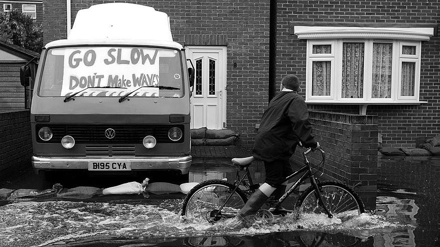
Flooding has a significant impact on the people and economy of Oxfordshire. Whilst it is not possible to prevent all possible local flooding, the relevant authorities, local communities and businesses can work together to reduce the risk and minimise the damage it can cause.
Oxford Flood Alliance:
Oxford Flood Alliance are a community group, formed in 2007. They campaign to reduce flooding in the Oxford area. Seven rivers (River Thames and tributaries of the River Thames; River Cherwell, River Swere, River Dorn, River Glyme, River Windrush, River Evenlode, River Ray, River Thame) meet at Oxford so the city’s very vulnerable, flooding six times since 2000. Climate change looks likely to make things worse. Working with the public bodies responsible for flooding, we’ve had real successes already, but more needs to be done. Houses and businesses need better protection, roads must be kept passable, the City open for business, all in the face of a probably worsening climate.
Hence they;
- support for, and participation in, the proposed multi-partner Oxford Flood Alleviation Scheme and the Abingdon flood risk management schemes.
- emphasis on maintaining existing waterways so that they work as well as possible. We want to see more being done to encourage and help riparian owners fulfil their responsibilities.
If you would like to know more about these schemes please contact the team directly: oxfordandabingdon@environment-agency.gov.uk. Website: https://www.gov.uk/government/publications/oxford-flood-risk-management-scheme.
Oxford Area Flood Partnership (OAFP):
Oxford Area Flood Partnership (OAFP) was formed after the floods in 2003, to reduce flood risk in the Oxford Area. OAFP responds to flooding problems raised by members of the public and welcomes information that will help in understanding flooding.
The group brings together the agencies that have flooding responsibilities, including the Environment Agency, Thames Water, Network Rail, the County Council, the City Council and Vale of White Horse District Council.
The agencies each look after different parts of the vast network of pipes, culverts, ditches and rivers that carry water through Oxford. However, riparian owners (whose land includes or adjoins waterways) are also responsible for keeping those waterways open.
The agencies share information about flooding in the Oxford area and help each other to develop affordable remedies when problems involve two or more partners.
OAFP produces a booklet about flooding in the Oxford Area, and an advice leaflet. You can download these and a flood map below:
Oxford Area Flood Information(975kB PDF) – Guidance on management of flooding & flood risk
Guide on how to prepare for flooding (623kB PDF)
Oxford Area flood map (1560kB PDF)
OAFP reviews the booklet each year and would be pleased to receive your comments on ways to improve it.
National Flood Forum (NFF):
The National Flood Forum (NFF) is a national charity dedicated to supporting and representing communities and individuals at risk of flooding. We do this by:
- Helping people to prepare for flooding in order to prevent it or mitigate its impacts
- Helping people to recover their lives once they have been flooded
- Campaigning on behalf of flood risk communities and working with government and agencies to ensure that they develop a community perspective.
The NFF works with government, agencies and local authorities on issues such as flood risk insurance, property level protection and recovery to ensure that the needs of flood risk communities are represented
The NFF also provides a strong and independent voice that represents the interests of people affected by flooding. This includes working closely with national and local government agencies, flood protection companies and the insurance industry, as well as flood action groups to ensure that the views and issues of those at risk of flooding are taken into account when decisions are made.
Oxfordshire Local Flood Risk Management Strategy
Following the significant floods in 2007, the Government gave local authorities new powers to help manage local flood risk in a more coordinated way.
The Flood Water Management Act 2010 requires county councils to lead the coordination of risk management for surface water, groundwater and smaller watercourses in their area.
Oxfordshire County Council is the lead Local Flood Authority and has a legal duty under the Flood and Water Management Act 2010 to “develop, maintain, apply and monitor” a flood risk management strategy. Oxfordshire County Council has now produced a local risk management strategy. This provides a clear vision about how flood risk will be dealt with in Oxfordshire.
The Local Flood Risk Management Strategies consultation has now closed and the final strategy document will be published shortly. The draft local strategy can be downloaded from here.
To enquire about the strategy please E-mail floodmanagement@oxfordshire.gov.uk. Or visit:
- Flood risk management information for flood risk management authorities asset owners and local authorities.
- National flood and coastal erosion risk management strategy for England.
Other real time information available on monitoring local river levels, river flow rates and groundwater levels is available from Shoothill.
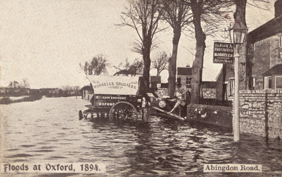
History of flooding in Oxfordshire:
A reminder from history: the floods of 1947. This flood was much bigger then any of recent years, but such a flood can, and almost certainly will, come again; there will also be many lesser floods: see the flood risk calculator. Some photos from the summer 2007 floods here. However weeks of heavy rain in the winter of 2014 also brought wide spread floods across Oxfordshire.
Unda’s Local knowledge:
The Unda team have detailed local knowledge of the Oxford area, having carried out many Flood Risk Assessment reports for sites across Oxfordshire. We provide a complete end to end service, negotiating with the Environment Agency, Insurers and Planning Authorities on your behalf.
Find out how we have helped clients across Oxfordshire to better understand the risk of flooding to their private and commercial property. Get in touch with our Flood Risk Assessment team today, by calling +44 (0) 1293 214444.
Flood warning service for Oxfordshire:
The Environment Agency is responsible for managing the risk of flooding from main rivers, reservoirs, estuaries and the sea. The Environment Agency offer a live flood warning service and three day forecast.
Lead local flood authorities are responsible for managing the risk of flooding from surface water, groundwater and ordinary watercourses and lead on community recovery, including making sandbags available to those that need them. Oxfordshire County Council is the lead Local Flood Authority for the Oxfordshire area. To report a flood telephone 01865 792422 or email.
For the latest flood news in Oxford City or follow on Twitter.
Emergency flood contacts in Oxfordshire:
If there is a flood:
- If you are in a life threatening situation, call the emergency services on 999.
- To report road problems and request information about such things as sandbags, contact the Oxfordshire County Council Floodline at 0808 1685082 between 8.30am-5pm. Outside these hours contact Thames Valley Police at 101.
- If you have any concerns regarding a vulnerable person, contact Oxfordshire County Council at 0845 0507666 between 8.30am-5pm.
- If you are concerned about a vulnerable person and cannot wait until normal working hours, call the council’s emergency duty team on 0800 833 408
- To report flooding from a sewer please call Thames Water on 0845 9200 800 or visit Thames Water’s Sewer Flooding page
- Keep an eye on Oxfordshire County Council and Environment Agency websites
- Follow the Twitter feeds from the district council and county council, and also by using #oxonflood.
Important telephone numbers:
- Cherwell District Council – If you need help please contact the council on 01295 227001
- West Oxfordshire District Council – The main switchboard to report a flood 01993 861000 or Emergency out of hours: via 01993 861000 for urgent issues only.
- Oxford City Council – call the Council on 01865 249811.
- South Oxfordshire District Council – If you need help please contact the council on 01491 823000or 01491 824033 if you are calling about an emergency out of office hours.
- Vale of White Horse District Council – Emergency helpline on 01235 524886 is available after office hours to report a flood
Reporting Problems:
- If you smell gas call the National Grid on 0800 111 999
- If you spot a hazard or potential hazard with an overhead transmission power cable call the National Grid on 0800 404 090. For homes or businesses contact your distributor.
If you are flooded contact:
- Oxfordshire Fire & Rescue Service Tel. 01865 842999 for non-emergency situations including the pumping of properties
- The Citizens Advice Bureau may be able to offer advice on obtaining money in an emergency and dealing with insurance companies (contact your local office)
- NHS Direct can offer advice and information if you have health concerns during or after a flood, call 111
- The Highways Agency is responsible for major roads in the UK this includes the M40 in Oxfordshire. For further information on the roads the Highways Agency is responsible for please visit the Highways Agency website. Or alternatively to report a flooded road online click here.
Flood Risk Assessment for Oxford and Oxfordshire | Unda
If you, your business or your development is based in Oxford and you have been advised to seek a Flood Risk Assessment (FRA), you may need one for one of the following reasons:
Planning – If you are a planning consultant or property developer, you may be required by law to conduct an FRA for the site you are planning to develop on.
Property – If you are a home buyer, you may have been advised by your conveyancer to seek an FRA.
Insurance – If you have been refused home insurance on flood risk grounds or if your home has been identified by your insurance company as being at high-risk of flooding, you may need an FRA.
Business Continuity Management – Assessing flood risk to existing and potential new locations for your business may be important for compliance, health & safety, insurance and infrastructure security reasons.
Useful links for planning and specific flood requirements:
- Cherwell District Council – phone: 01295 227006
- West Oxfordshire District Council – phone: 01993 861000
Additional planning forms required – Flood risk assessment (and guidance notes). For developments of 1 – 5 hectares a Flood Risk Assessment is required. - Oxford City Council – Phone: 01865 24981. Email: planning@oxford.gov.uk
Flood Defence Consent – In addition to any planning permission you may require, you may also need flood defence consent from the Environment Agency when developing land near watercourses or floodplains. Download the guidance document below for more information: Development near watercourse or floodplain guidance (25kB PDF) - South Oxfordshire District Council – phone: 01235 520202 email: planning@southoxon.gov.uk
- Vale of White Horse District Council – phone: 01235 540347 email: planning@whitehorsedc.gov.uk