Are Environment Agency flood maps distorting house prices?
This is an ongoing debate being had between the towns of Bisham and Marlow, and the Environment Agency. Residents claim that flood maps published by the Environment Agency are grossly inaccurate and are significantly distorting house prices in the area.
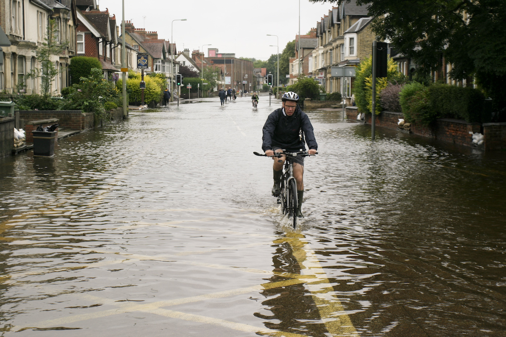
Several homes and streets have been included within the EA’s 2002 and 2003 historical flood extents which it is reported were not affected by flooding during these years. Additionally, whole swathes of Bisham and Marlow have been mapped within the 2014 flood outline including a number of fields recorded underwater which simply did not occur.
Valid Point?
In 2014 the Environment Agency agreed that local residents had a ‘valid point’. However, despite admitting the error, nothing had altered on mapping when it was redrawn in 2015. This has left may property owners concerned that potential purchasers will be mislead about the history of flooding within the town.
Laser Mapping
The flood extents in question are based on laser-mapping, which uses aerial scans to record the topography of the area, and visual surveys; raising the question as to how accurate the historical flood outlines really are.
In response to this specific case the Environment Agency have confirmed that the maps used computer modelling to represent the ‘worst case scenario’ and have agreed to update the 2003 flood data, with an ongoing review of laser-mapping to ensure future maps are accurate.
It is important to note that the Environment Agency maps gives an indication of the risk of flooding at an area. Therefore, whilst an area may not have recently flooded a tangible risk can be present.
If You Are Affected
If you are in an area that you believe is misrepresented by flood mapping the Environment Agency provide a formal process to challenge published flood mapping. However, this is an evidence-based task and can take months to collate the required information. In the case above, local residents have been challenging the Environment Agency for the last three years.
Given the fast-paced nature of the property and development sector, time is something that people cannot afford.
Get Your Own Assessment
An alternative to the flood map challenge is to commission a qualified flood risk consultant to carry out a flood risk assessment on a property or development. A Flood Risk Assessment provides a holistic assessment using the best available data to assess whether a site is at risk of flooding from a number of sources. Where identified a consultant would be able to indicate the level of risk in an area and outline possible mitigation measures to ensure any impacts are minimised, should a flood event occur.
Here at Unda we routinely carry out these assessments and are conversant with the challenges often encountered. Unda can provide high-resolution flood risk mapping, showing depth and velocity of predicted flood water. The protection of homes and properties from flooding can only begin with initially understanding the level of flood risk they may face. If you would like to learn more about obtaining a Flood Risk Assessment for your property, do not hesitate to contact us here at Unda.
Written by Thomas Smith, Flood Risk Consultant at Unda.