Surface Water Risk Resolved for a Small Residential Infill Site
The Project:
A developer was bringing forward a planning resubmission for a small residential infill scheme in a coastal town in West Sussex.
The proposal was for a new single-storey residential unit on a constrained urban site. The site was located in Flood Zone 1, so it was at low risk from rivers and the sea. However, updated surface water mapping showed flood risk affecting both the site and the surrounding access routes.
Because the scheme introduced new ground floor sleeping accommodation, flood risk could not be treated as a minor technical issue. The application needed a Flood Risk Assessment for planning, a Surface Water Drainage Strategy and, because of the mapped surface water risk, a Sequential and Exception Test.
The Challenge:
The main issue was safe access and egress during extreme surface water events.
The site itself was small, tightly constrained and surrounded by existing development. Updated Environment Agency mapping showed overland surface water flow routes in the surrounding area. This created a potential planning risk because the development was single storey, with no upper-floor refuge available to future occupants.
If the access route had been shown to be unsafe during the relevant design event, the proposal would have been difficult to justify. The scheme also needed to show that finished floor levels, flood resilience measures and drainage design would manage risk without increasing flooding elsewhere.
There was a further policy complication. Although the site was in Flood Zone 1 for river and sea flooding, national guidance now requires all sources of flood risk to be considered, including surface water flooding. That meant the planning submission had to address not just the technical flood risk, but also the Sequential Test position and the Exception Test.
What We Did:
Unda prepared a coordinated Flood Risk Assessment, Surface Water Drainage Strategy and Sequential and Exception Test.
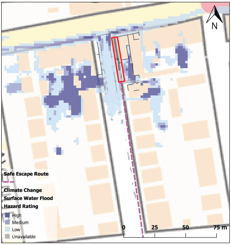
The Flood Risk Assessment reviewed the available Environment Agency mapping, local flood risk evidence and the proposed layout. The site was confirmed to be in Flood Zone 1, with no identified fluvial or tidal flood risk, but affected by mapped surface water flooding under present-day and future scenarios. The assessment then considered flood depths, hazard ratings, finished floor levels, flood resilience measures and the availability of a safe escape route.
A practical issue was that the Environment Agency surface water dataset did not provide a direct 1 in 100 year plus climate change output for the full design life of the development. Following engagement with the local flood risk team, the 1 in 1000 year 2040-2060 “Low” event was used as a proportionate proxy for the planning assessment. This gave the safe escape analysis a clear and agreed basis.
Using that approach, a safe escape route was identified through nearby residential streets leading away from the mapped surface water hazard area. The route was checked against the relevant surface water hazard data to confirm whether occupants would have a realistic means of escape during the design event.
The Surface Water Drainage Strategy dealt with runoff at source. It proposed tanked permeable paving, on-site attenuation and controlled discharge to the surface water sewer. This followed the SuDS hierarchy and avoided relying on an unsupported assumption that the site could simply discharge runoff without control.
The Sequential and Exception Test then set out the planning case. It explained why the Sequential Test was engaged despite the Flood Zone 1 location, reviewed alternative sites across the relevant borough, and demonstrated that the Exception Test could be satisfied through wider sustainability benefits and site-specific safety measures. This reflected the current direction of planning guidance, where surface water risk can still require detailed policy justification even outside traditional river and coastal flood zones.
The Outcome:
The planning submission was supported by a complete and consistent flood risk package.
The Flood Risk Assessment demonstrated how the development could remain safe for its lifetime. The drainage strategy showed that runoff could be managed without increasing flood risk elsewhere. The Sequential and Exception Test provided the planning justification needed to address the site’s surface water constraint.
The strategy also avoided treating each issue in isolation. Safe access, finished floor levels, flood resilience, drainage design and planning policy were presented as one coherent position. That gave the applicant a defensible basis for progressing the resubmission, despite updated surface water mapping and the additional policy scrutiny it created.
This project shows why small Flood Zone 1 sites can still require detailed flood risk, drainage and Sequential Test work where surface water risk affects the development or its access.
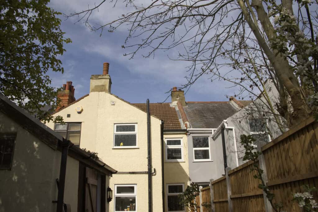 Residential buildings with clear sky, illustrating urban development and water management considerations.
Surface water flood risk assessment for a small residential infill site in the UK.
Residential buildings with clear sky, illustrating urban development and water management considerations.
Surface water flood risk assessment for a small residential infill site in the UK. 