New Build Purchase Completed Away From a Village’s Flood Hotspots
The village made the news when its brooks and river overtopped in the winter of 2013/14, and those floods are still what a search turns up. Our clients were buying a new-build house on one of its estates, on Surrey's Weald Clay. We traced where the village floods, then tested every source at the house. All but the sewers came out negligible, and the purchase completed.
| Client | Purchaser |
| Location | A village in Surrey |
| Flood risk | Flood Zone 1 · surface water and groundwater negligible · sewer low |
| Development | 1 dwelling (existing new build, no works proposed) |
| Service | Flood risk survey for property purchase — desk study, walkover and a report with a threshold survey |
| Outcome | Risk clarified; purchase completed |
A village remembered for flooding
The village sits high in a clay catchment, where rain runs off rather than soaking in and the brooks rise quickly. In the winter of 2013/14, storm after storm fell on saturated ground, and the council's flood investigation named the village among the borough's worst-affected places. One brook overtopped where a blocked screen at a culvert held back its flow. Homes beside it flooded. On another road the main river spilled out.
The buyers wanted an independent view. The record had not stopped in 2014: water was back on some of the same roads in 2016. The house is in Flood Zone 1. But a flood zone covers river and sea only, and their conveyancing search had marked the back garden as somewhere water might pond. We carried out a flood risk survey for property purchase to test whether that record reached this house.
Where the water keeps returning
The council's Section 19 flood investigation, the Environment Agency's records and local accounts pointed to the same few places: the brook with the blocked culvert, the road by the river, and low pinch points where the drains are overwhelmed. The reputation covers the whole village; the flooding keeps returning to a few watercourses and roads. Nor have those places been left alone since: the council, the Environment Agency and riparian landowners have cleared the channels and banks, and the borough keeps up ditch and culvert maintenance.
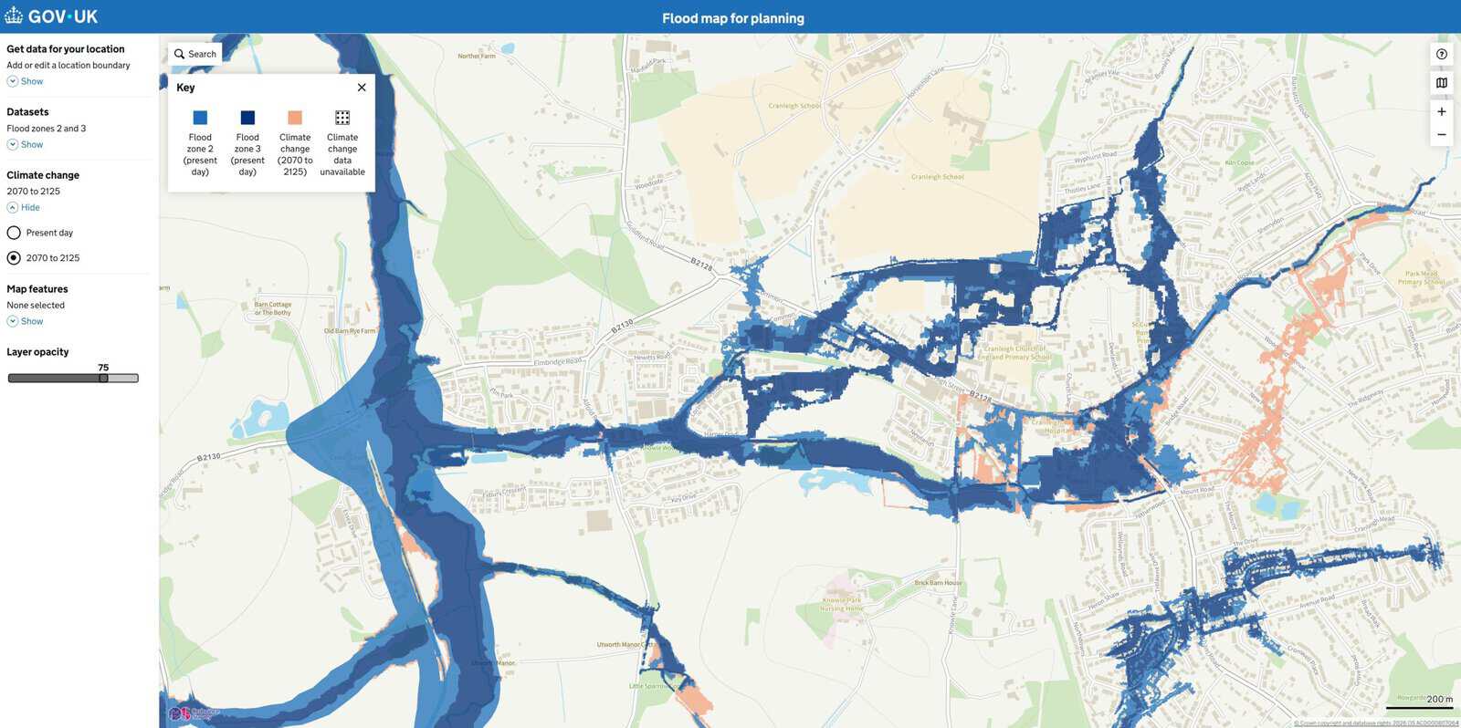
None of them mentioned the street the house is on. The Environment Agency holds no record of flooding at the site or around it, the nearest watercourse is a small culverted stream, and the main river a short walk away has flood zones that stop short of the estate.
Nothing mapped near this street
Neither the village's record nor Flood Zone 1 settles what happens at one house, because on clay the risks a flood zone leaves out are local. So we checked each source at the house, walking the site and reading the Environment Agency's laser-surveyed LiDAR levels.
The Environment Agency's surface water mapping keeps the house clear, today and with climate change, so the garden flag needed another explanation. The LiDAR supplied one: a shallow low spot behind the house, on clay that lets little rain soak away. Nobody had seen it pond. The garden was dry when we walked it, and in a storm any overflow would gather in that dip, away from the doors.
The council's strategic flood risk assessment puts the area in a mid-range susceptibility band for groundwater, but that dataset reads the geology at borough scale, not under one house. Under this one there is clay with no gravels above it, no basement, no record of groundwater flooding on the plot and no Environment Agency alert area, which puts susceptibility at the low end and the risk at the house itself at negligible. Our guide to groundwater flood maps covers why a screening band and a site answer disagree. Sewer incidents were logged across the neighbourhood, so that source stayed at low, though the water company confirmed none at the property.
The brickwork showed no staining. The lowest ways in are the air bricks, below either door, with sockets and meters well above. What the public record could not settle was the drainage. The drive and estate road are permeable paving, storing rain in a stone sub-base and releasing it slowly to a ditch, under a strategy the council approved and, on the record, built as its drainage condition required. One thing is missing. No building control completion certificate appears in the council's published records, and nobody has confirmed who maintains the system.
The buyers went ahead
The buyers completed. The decision was theirs: the survey said what the village's record meant for this house, and they weighed it alongside everything else. They knew by then that the floods were real but belonged to the village's brooks and low roads, and that every source at the house was negligible apart from sewers, which rated low.
They were left with a report covering every flood source at the address, a threshold survey and recommendations. Nothing is predicted to flood the house, so those thresholds form a baseline: the lowest points water could reach in an unforeseen event.
They took a short list to their solicitor: the new-build warranty and building control sign-off, who maintains the drainage under the drive and road, and fitting non-return valves. The rest is upkeep: soil kept off the air bricks, and signing up for severe weather warnings.
What this means for similar sites
A village's flood history is a list of places. A published council flood investigation names the brooks, culverts and roads that flooded, why, and what has been done to them since, which tells a buyer far more than any headline. Our guide to checking flood risk before buying a property sets out where else to look.
Outside the mapped flood zones on clay, what remains is small and local: a low spot in the garden, sewer incidents logged across a postcode, drainage that works only while maintained. A search flags them without placing them, and your solicitor passes it on unjudged, as our piece on what your conveyancing solicitor does about flood risk explains.
About the author. Jesy is a Flood Risk Consultant specialising in property purchase, insurance and due diligence. Unda has been trading since 2014, is a CIWEM Business Partner with CIWEM member and chartered (C.WEM MCIWEM) consultants, and has delivered 5,000+ flood risk assessments and drainage strategies across England and Wales.
Jesy Ferry · MSc, BSc (Hons), GradCIWEM
A flood risk survey for property purchase gives a buyer in this position a site-specific answer on every flood source, in time to use before exchange.
Buying in a village with a flood reputation?
Send us the address for a tailored quote from our experienced consultants within 60 minutes on a working day.
Start a quoteRelated projects
- Surface Water Risk Located to the Garden, Not the Home: surface water pooled in the garden of a Berkshire house, below its raised floor.
- Riverside House Purchase Withdrawn After Floor Tested Against Thames Flood Levels: the same survey, where the floor sat low enough that the buyer walked away.
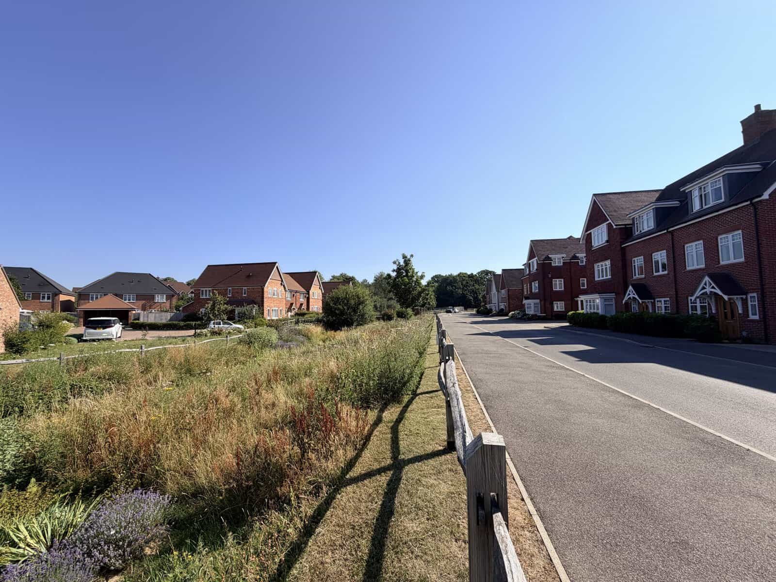
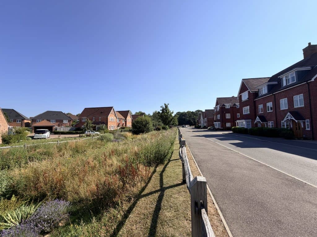 Newer estates in the village store storm water in planted basins like this one, which was empty and dry on the day of the site visit.
 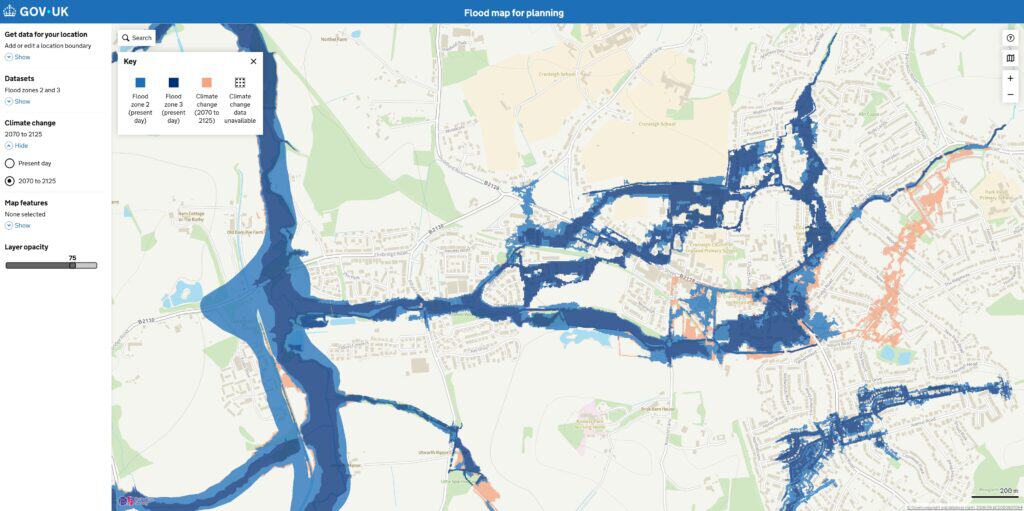 The mapped flood zones follow the village's brooks and river through the low ground, which is where its recorded floods keep coming back.