Village Homes Approved in Flood Zone 3 After an Earlier Flood Refusal
A document headed flood risk assessment went in with the first application for homes on this village-edge plot in Fenland. The council's refusal recorded that no site-specific assessment had been provided. On resubmission the work was split in two, one report for each question the planning system asks, with a search for alternative sites drawn where it could be defended. Approval followed.
| Client | Landowner |
| Location | A village in Fenland, Cambridgeshire |
| Planning authority | Fenland District Council |
| Flood risk | Flood Zone 3 · tidal · fluvial (both defended and pumped) |
| Development | 2–9 dwellings |
| Service | Flood risk assessment for planning and sequential and exception test report — a site-specific assessment of every flood source, and a separate test with its area of search evidenced site by site |
| Outcome | Approved |
A report that did not count
The first application was supported by a five-page note trying to be two documents at once: a flood risk assessment, and the Sequential and Exception Tests, which ask whether a lower-risk site exists and whether homes here can be safe. On flood risk it rested on the tidal river defences and recommended a modest floor raise. For the tests it listed recent applications in the village, searched one property portal and set out the general benefits of new housing.
Two reasons were given for the refusal. One concerned the plot's position on the edge of the village, a settlement-pattern matter outside flood risk. The other was that no site-specific flood risk assessment had been provided, so nothing showed a lower-risk site was unavailable. On that reading the note was not evidence at all. Its title made no difference.
The refusal sat in the planning history. When pre-application advice was sought later for a smaller scheme on the same land, the officer cited it, said the search would have to cover the whole district, and thought the scheme unlikely to attract support. That was the position when the owner instructed Unda.
What Flood Zone 3 did not settle
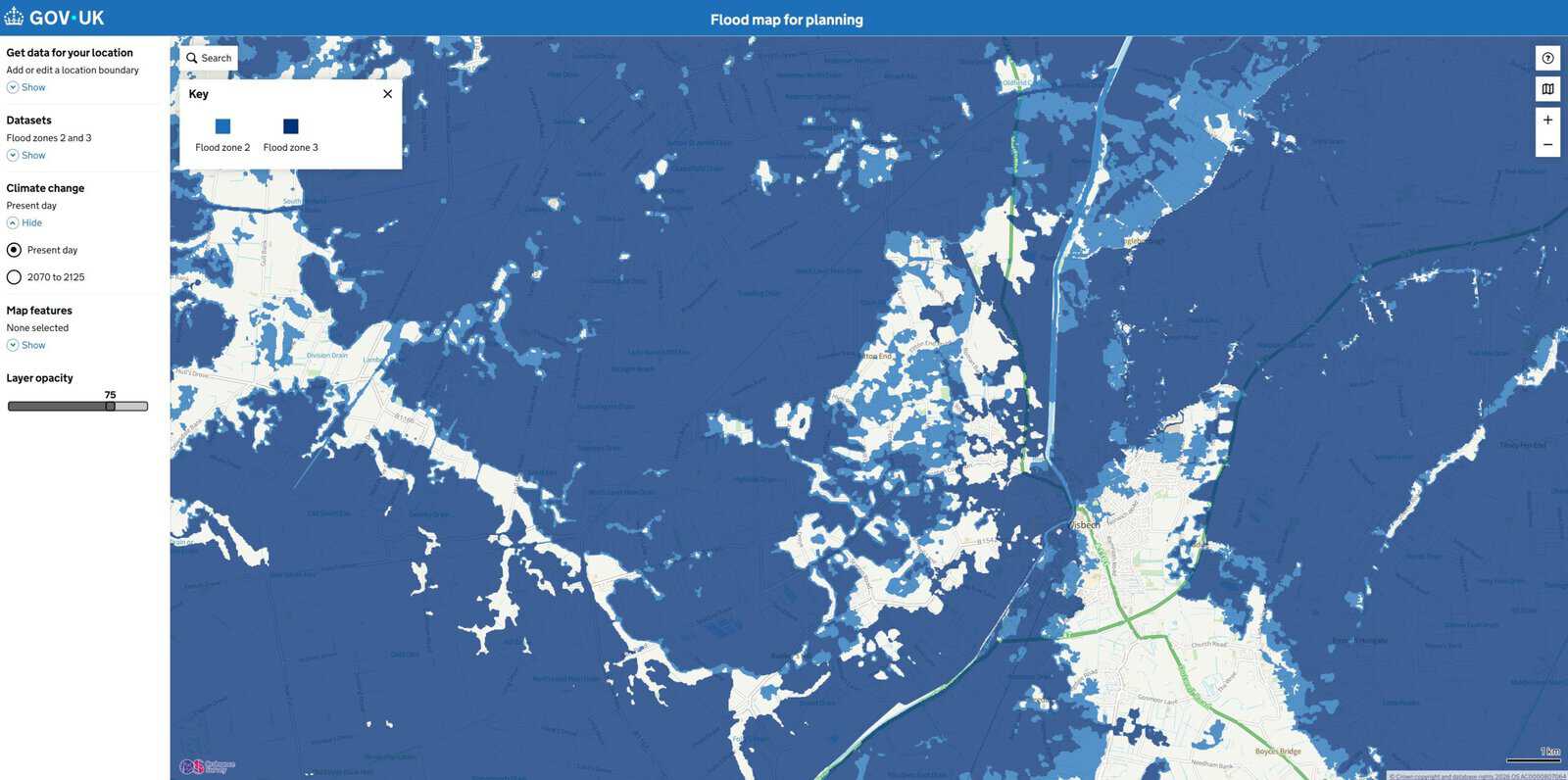
Most of Fenland sits in Flood Zone 3, so the zone says little about any single plot. It maps the land as though there were no defences and no pumping stations. Here both were doing the work, so what mattered was how the site behaves while they operate, and what happens if either fails.
Unda's flood risk assessment for planning began with the Environment Agency's flood data for this site, not a general statement about defences. It found no tidal risk to the site if the defences were overtopped or breached, now or with climate change, and none from main rivers while the internal drainage board keeps pumping water off the land. Surface water, groundwater, sewers, reservoirs and the flood history changed nothing.
What was left was residual risk, which arises only if something fails. The safety case therefore rested on bedrooms upstairs, a permanent stair to refuge, flood-resilient construction, flood warnings and an occupant flood plan, not a set floor level. None of that moved the plot out of Flood Zone 3, and in national policy homes count as more vulnerable development, so both tests still applied.
The steer was a district-wide search
The area of search, the ground over which alternatives must be looked for, decided the case. One village, as the first note had it, is the kind of boundary a council reads as drawn to suit the site, while a whole district would have set a handful of homes against town sites and large allocations that could never substitute for them. Neither extreme would have survived scrutiny.
September 2025's revision to the Planning Practice Guidance settled which of them an officer could ask for. It ties the area of search to local circumstances and the scale and type of what is proposed, with a worked example for non-major housing pitched at the town or village. Two tiers followed: the village itself, then three nearby villages sharing its role in the local plan, its housing market and its pumped drainage. That is where small schemes of this kind come forward.
Across that ground Unda checked the council's register of land put forward for housing, its brownfield register, recent decisions and the property portals. The first note had searched one. Nineteen sites were logged, each with a recorded reason for exclusion: equal flood risk, already built or committed, not on offer to anyone, or too large to split sensibly. None was a lower-risk site reasonably available for this scheme.
Approved at the second attempt
The council approved the resubmitted application. It accepted the two-tier area of search and did not ask for the district-wide comparison its own pre-application advice had pointed to, and since that advice predates the revision on proportionality, guidance moved part of the position, not evidence alone. The settlement-pattern reason behind the first refusal was a planning matter, resolved outside the flood risk work.
What reached the officer was a site-specific assessment of every flood source, built on the regulator's own data, and a separate sequential and exception test whose area of search and excluded sites sat in a checkable appendix. The land and the proposal had not changed.
What this means for similar sites
A refusal that records no site-specific flood risk assessment is rarely about the heading on the document. Officers read what sits behind it: the regulator's data for that site, every flood source, and a search for alternatives they can check. A short general note supplies none of those, which is why an expert should write your flood risk assessment. Where both tests apply they usually belong in separate reports, because safety and location are judged on different evidence.
Where a district lies almost wholly in Flood Zone 3, the area of search decides the sequential test, and since September 2025 it can be drawn to fit the scheme, provided every site inside it is accounted for. This owner reapplied rather than appealed. That choice carries more weight now that most written appeals exclude evidence the council never saw, which leaves the application itself as the only place the case can be made.
About the author. Freya is a Flood Risk Consultant focused on planning (NPPF/TAN15), insurance and property. Unda has been trading since 2014, is a CIWEM Business Partner with CIWEM member and chartered (C.WEM MCIWEM) consultants, and has delivered 5,000+ flood risk assessments and drainage strategies across England and Wales.
Freya Pott · MSc, BSc (Hons), GradCIWEM
An Unda flood risk assessment for planning gives a planning officer site-specific evidence to test, which is what a refusal for want of it asks for.
Refused on flood risk and planning to reapply?
Tell us the site address and what the refusal said, and our consultants will come back with a tailored quote within 60 minutes on a working day.
Start a quoteRelated projects
- Sequential Test Accepted for London Residential Development: a proportionate sequential and exception test for a new home in the defended tidal Thames floodplain.
- EA Objection Withdrawn for Mixed-Use Redevelopment: an earlier consultant's flood risk assessment drew an Environment Agency objection; rebuilt evidence had it withdrawn and the scheme approved.
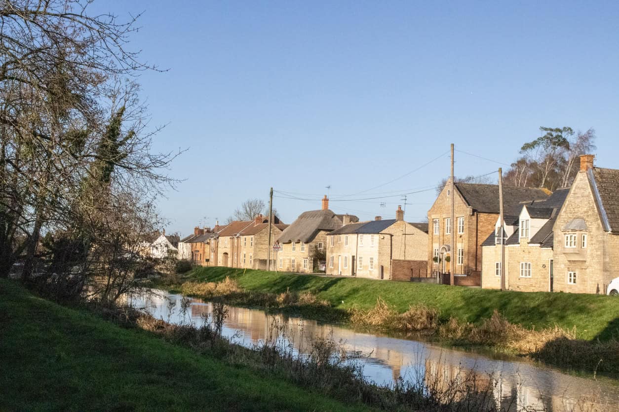
 Village homes approved after flood refusal: on low-lying land like this, the flood evidence decides whether new homes get permission.
  Almost all the surrounding land sits in Flood Zone 3, which is why the area of search, not the map, decided this case.