What Is a Culvert? Culverts, Ownership and Consent in the UK
Estimated reading time 19 minutes
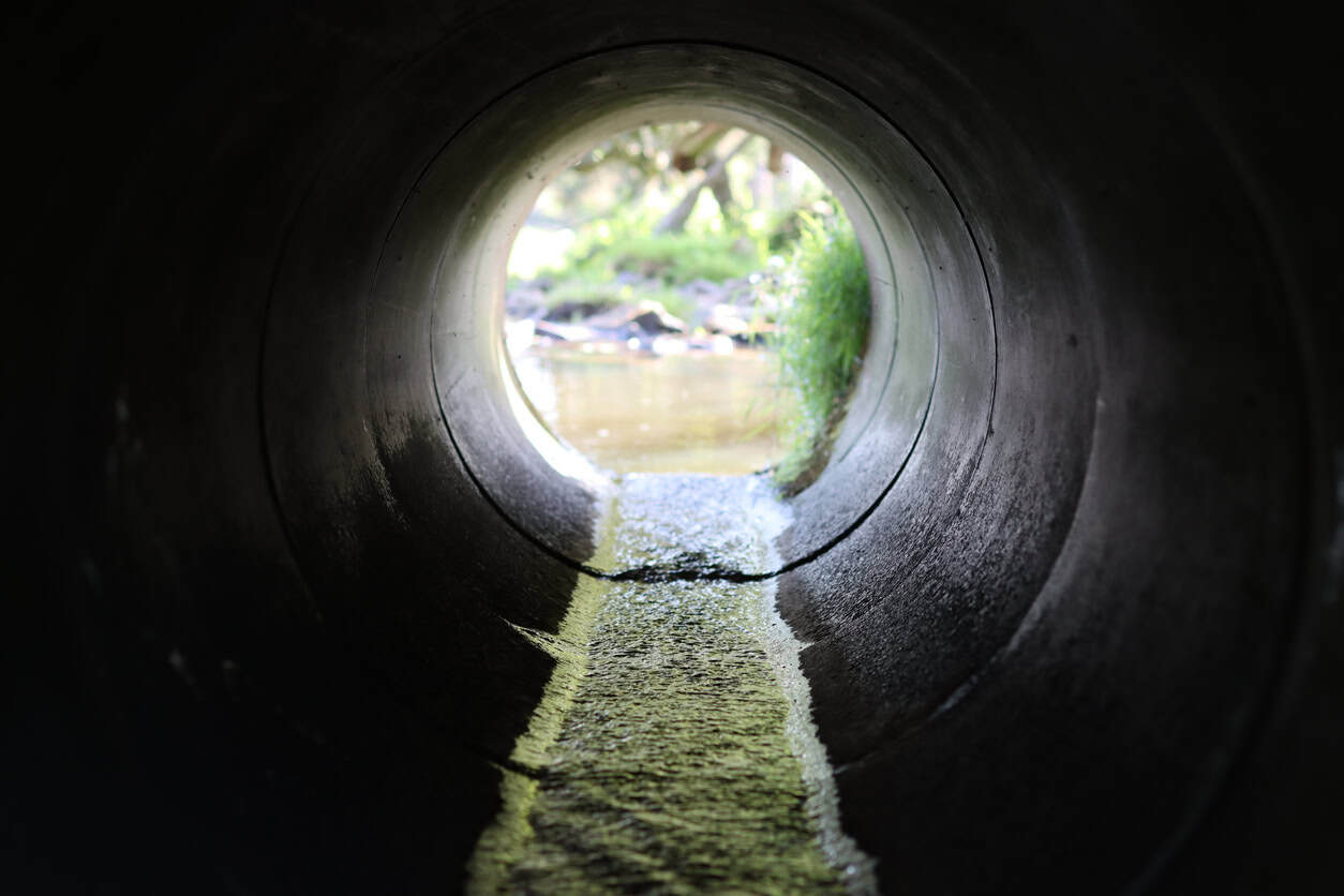
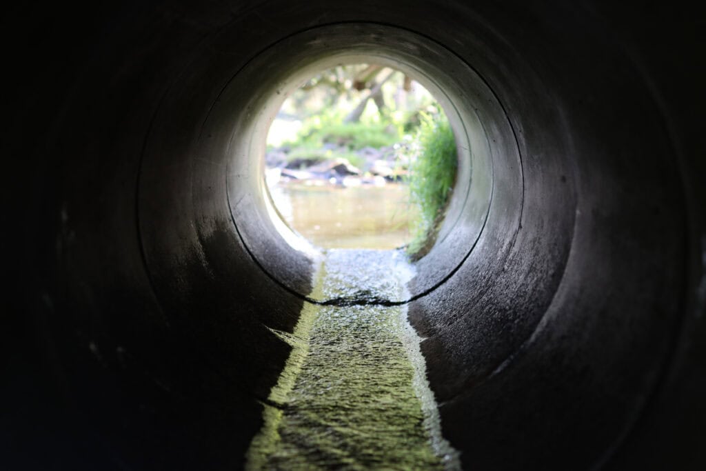
A culvert is a covered channel or pipe that carries a stream, ditch or other watercourse under a road, a railway, a driveway or a building. Ask what is a culvert in the UK and the answer runs from a short pipe under a farm gateway to a brook buried for hundreds of metres beneath a town centre.
The legal definition used for main rivers is close to the everyday one: the Environmental Permitting Regulations 2016 describe a culvert as a covered channel or pipe that stops an artificial construction obstructing a river or drainage path. The Environment Agency's guidance puts it more simply, as an underground structure that water can flow through.
The UK has more than one million culverts and outfalls, thousands of them fitted with debris or security screens, according to the Environment Agency's research summary for the national culvert manual.
The number matters because a culvert is the narrowest point on most watercourses. When one blocks or runs full, the water has nowhere to go except back up the channel and out across the land around it. That mechanism sits behind most of what follows: why culverts flood, why landowners are made to keep them clear, and why planning policy now resists new ones.
How is a culvert different from a bridge, a drain or a ditch?
A culvert carries water under something; a bridge carries something over water. The practical difference is the channel: a bridge spans it and leaves the bed and banks open, while a culvert encloses the water in a pipe or box. That is why, on an ordinary watercourse, a clear-span bridge rarely needs consent and a culvert always does.
In law, a culvert is part of the stream it carries. Section 72 of the Land Drainage Act 1991 defines a watercourse to include rivers, streams, ditches, drains, cuts, culverts, dikes and sluices, but not public sewers. A culvert under a field gate is part of the ordinary watercourse it carries, with the same owner and the same rules.
| Feature | What it is | What it carries | Usually looked after by |
|---|---|---|---|
| Culvert | A covered pipe or box carrying a watercourse under an obstacle | A stream, brook or ditch, flowing continuously or only after rain | The landowner, unless a highway, rail or public body owns the structure |
| Bridge | A structure spanning a channel, leaving the bed and banks open | Traffic, people or services over the water | The bridge owner, usually the highway authority on a public road |
| Ditch | An open channel, often along a field or road edge | Surface water and field drainage | The landowner on each side, to the centre line |
| Land drain | A perforated pipe buried in a field to lower the water table | Groundwater and soil water from farmland | The landowner, though a drain carrying flow can be a watercourse in law |
| Surface water sewer | A pipe network collecting rainwater from roofs and roads | Rainwater only, discharging to a watercourse | The water company once adopted; otherwise the property owner |
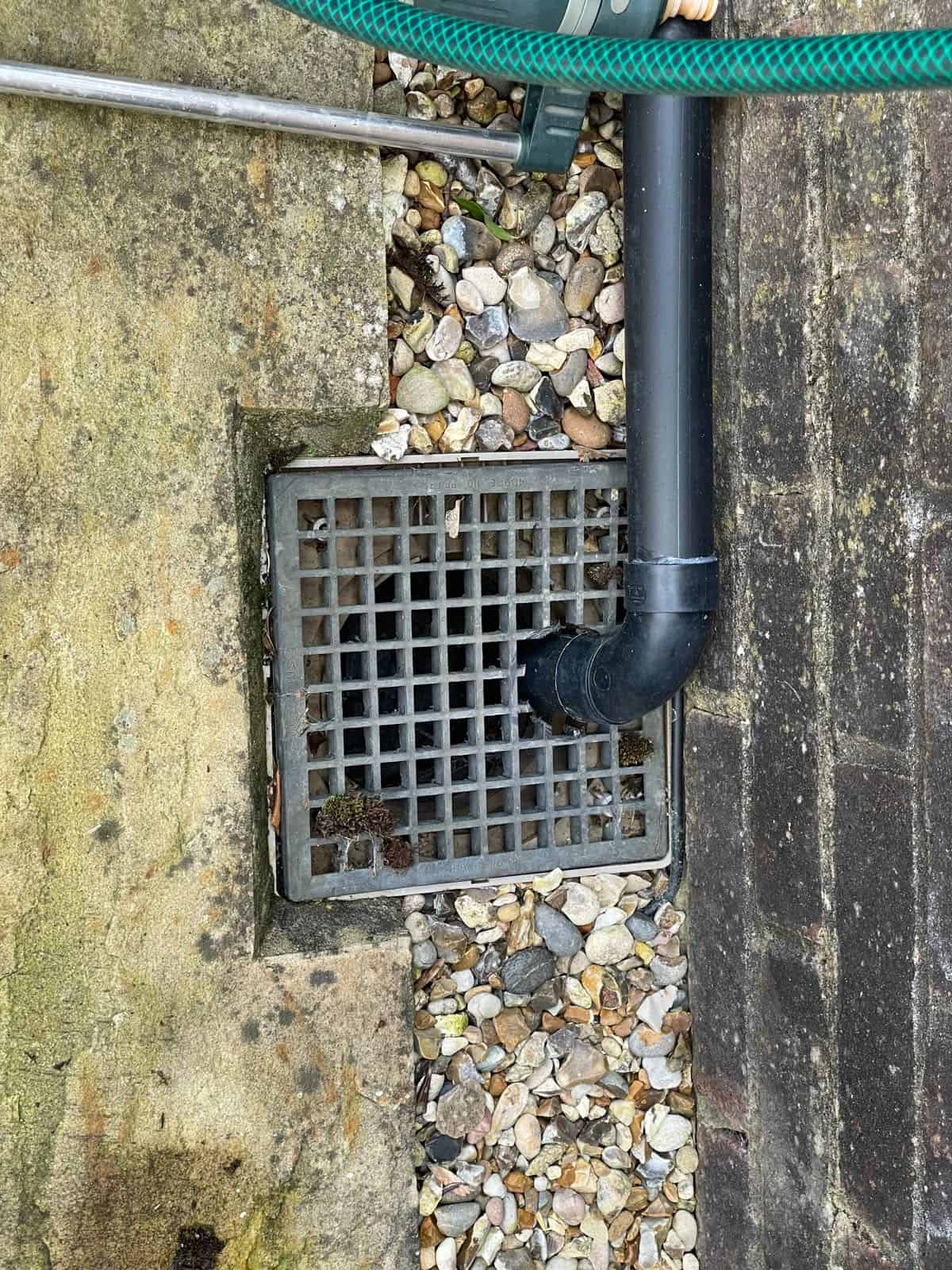
Edge cases cause the confusion. A piped land drain that carries water from beyond the field can count as a watercourse, a point covered in detail in the guide to land drains on a development site. A pipe that collects rainwater from a housing estate is a surface water drain or sewer, not a culvert, because it carries runoff into a watercourse rather than carrying the watercourse itself.
How does a culvert work?
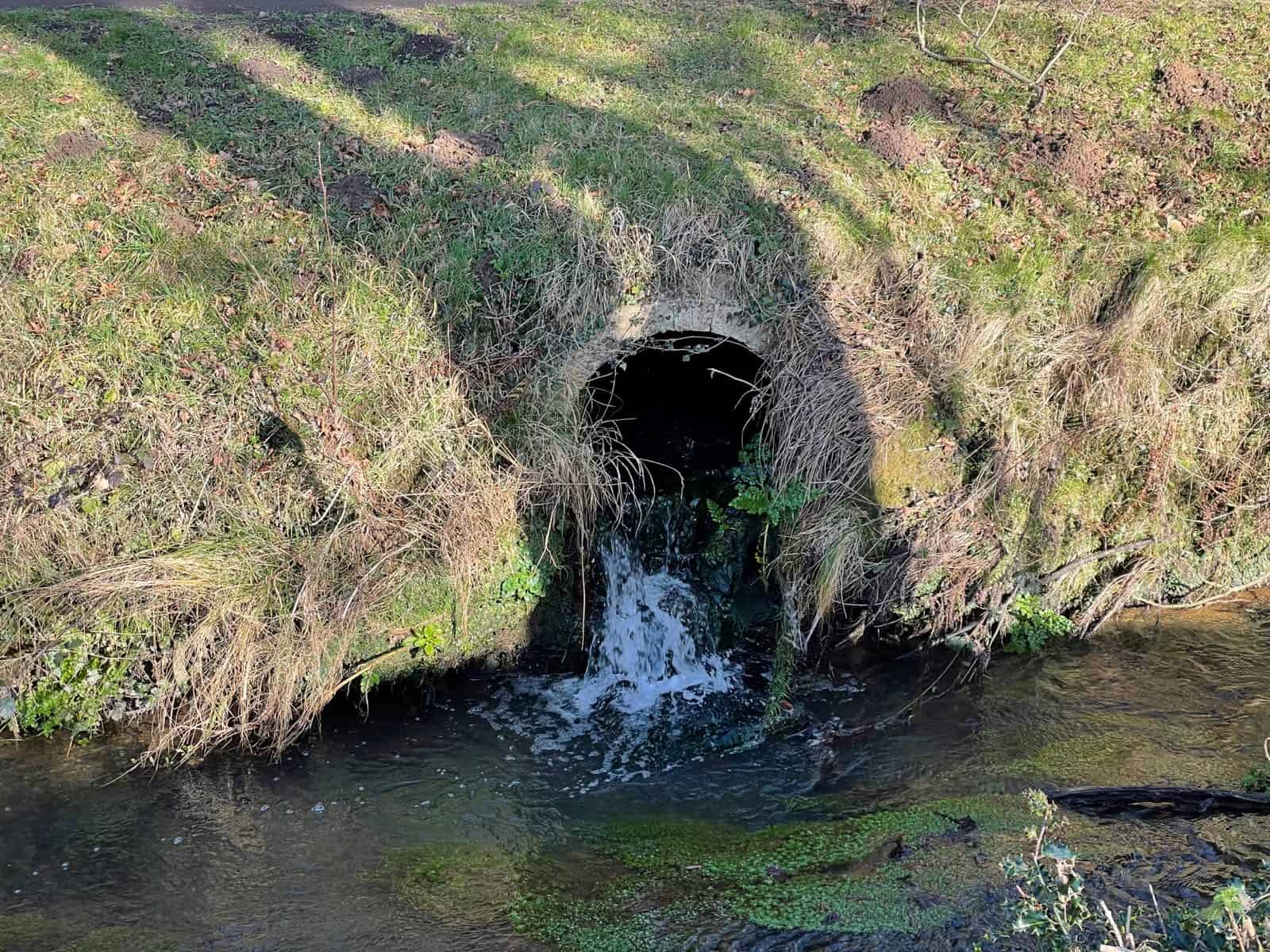
A culvert works by giving a watercourse a fixed, enclosed route under an obstacle. Water enters at the inlet, flows through the barrel and leaves at the outlet, and as long as the flow fits inside the barrel the water level upstream stays close to normal. Once the flow is larger than the barrel can pass, the culvert runs full and water starts to pond upstream.
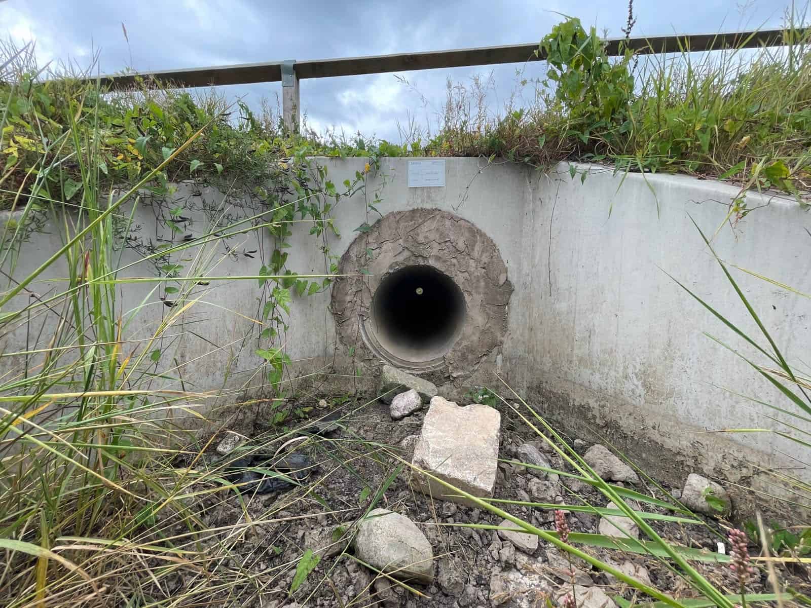
Most culverts share the same parts:
- Inlet. The upstream end, where the open channel enters the pipe or box. Most blockages start here.
- Headwall and wingwalls. The headwall is the retaining wall around each end of the barrel; wingwalls angle out from it to hold the banks and guide the flow in.
- Barrel. The enclosed length of pipe or box. Its size, shape, length and gradient set how much water it can carry.
- Invert and soffit. The invert is the inside floor of the barrel and the soffit is its inside roof. The gap between the water surface and the soffit is the culvert's freeboard.
- Outlet and apron. The downstream end, where water returns to the open channel, often onto a concrete or stone apron that stops the bed scouring.
- Trash screen. A grille of bars over the inlet to stop debris, and sometimes people, entering the barrel. A trash screen can itself become the blockage.
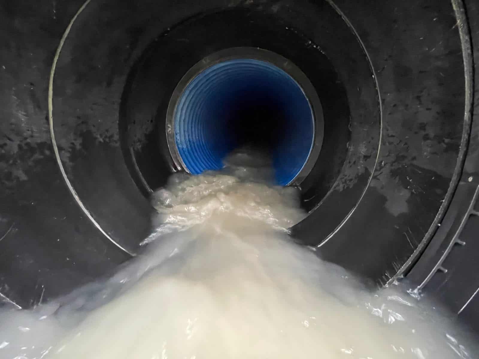
When the flow arriving at the inlet is more than the barrel can pass, the culvert surcharges: it runs completely full, the water upstream rises above the soffit, and the extra flow either backs up the channel, spills over the banks or runs across the road above. A half-blocked inlet does the same at a much lower flow. That is the case the diagram shows.
So capacity is checked against a design flood, not everyday flow. Devon County Council's culvert guidance asks for a new culvert to pass the 1 in 100 year flow with an allowance for climate change, with a minimum diameter of 600 mm and an exit velocity no higher than 1.5 metres a second. Where a culvert sits on or next to a site, the same capacity question is part of a flood risk assessment for planning.
What are the main types of culvert?
Culverts are grouped by the shape of the barrel, and pipe, box and arch culverts make up most of the UK's stock. Which one suits a crossing depends on the flow it has to carry, the depth of cover above it, and whether the natural bed has to stay.
| Type | Shape | Common materials | Where it is found |
|---|---|---|---|
| Pipe culvert | Circular pipe, single or in a row | Precast concrete, twinwall plastic, corrugated steel | Ditches, field accesses, driveways and minor roads |
| Box culvert | Rectangular section, single or multi-cell | Precast or cast-in-place reinforced concrete | Larger watercourses under roads, where the cover above is shallow |
| Arch culvert | Arched roof, often over a natural or stone bed | Brick or stone masonry, precast concrete arch units | Older road, canal and rail crossings, and new crossings designed for fish |
| Bottomless or open-bottom culvert | Three-sided box or arch with no floor | Precast concrete, corrugated steel | Crossings where the natural stream bed has to stay in place |
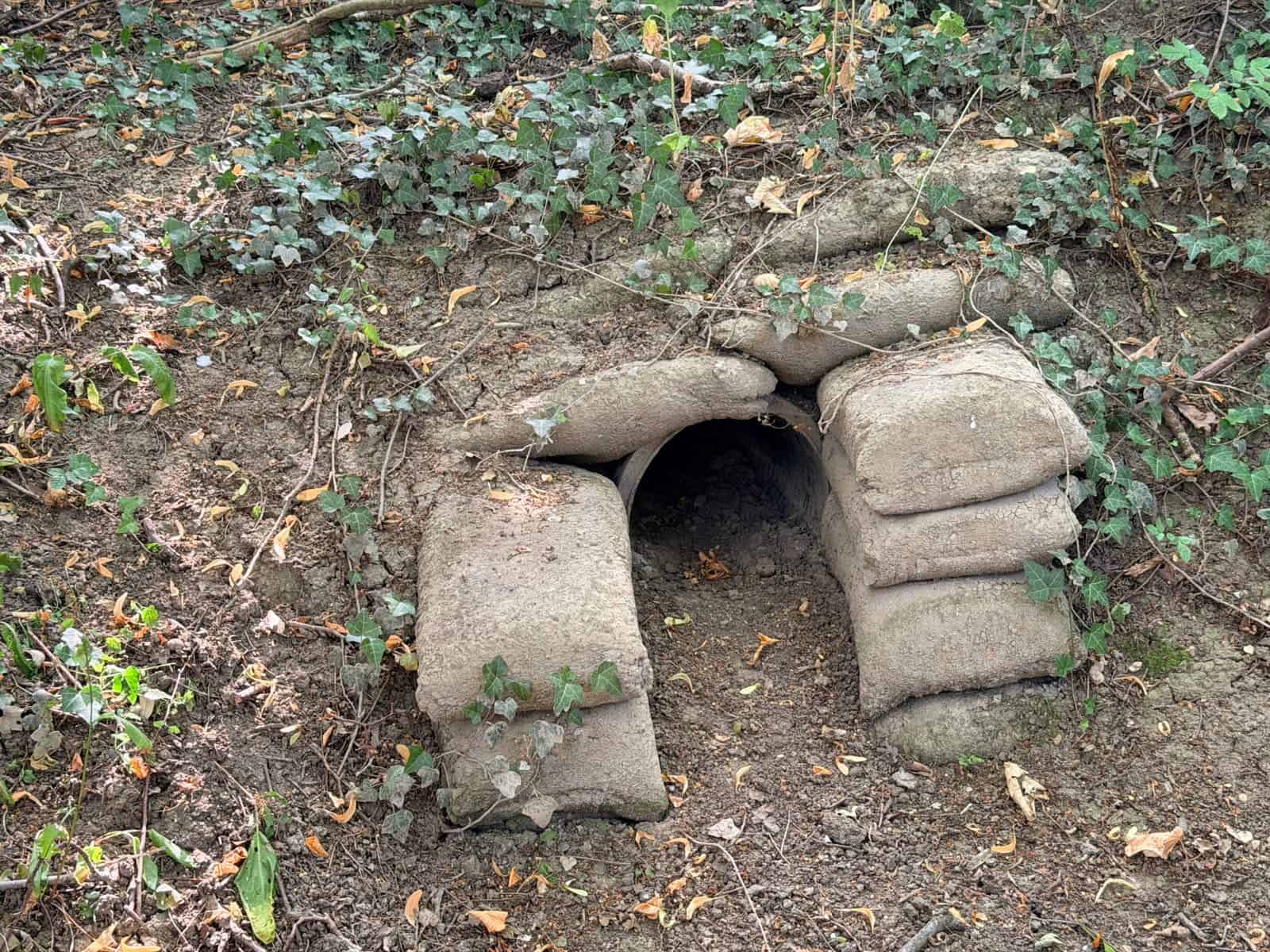
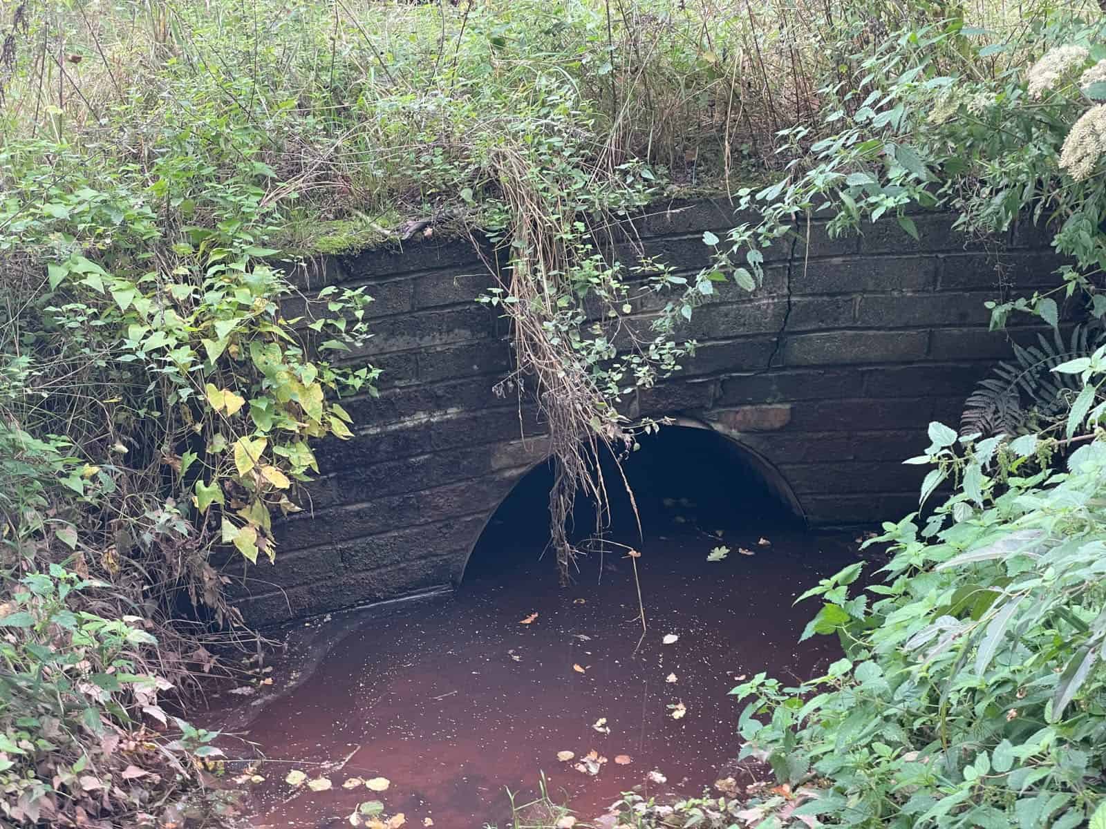
A culvert pipe is the form most often found on private land, under driveways and field gateways. Box culverts are the standard choice for larger flows because a rectangular section carries more water for its height than a pipe. Arch and open-bottom culverts are used where the bed needs to stay in place for fish and other wildlife, a point council culvert policies now raise.
Why do culverts cause flooding?
Culverts cause flooding when they cannot pass the water arriving at them. That happens for one of four reasons: the inlet or screen blocks, the barrel fills with silt, the culvert was too small in the first place, or the channel downstream backs water up into it. Blockage comes up again and again in council flood investigations.
- Debris at the inlet. Branches, brash, leaves and litter wash down in a storm and lodge across the inlet or against a trash screen. The culvert then floods at a fraction of its design flow.
- Silt and sediment. Fine material settles in the barrel over years, reducing its area until a normal winter flow is enough to surcharge it.
- Undersizing. Many older culverts were sized for the catchment as it was, before upstream development added runoff and before climate change allowances existed.
- Downstream control. A culvert that discharges into another culvert, a high river or a tidal outfall can be drowned from below, so it backs up even when it is clear.
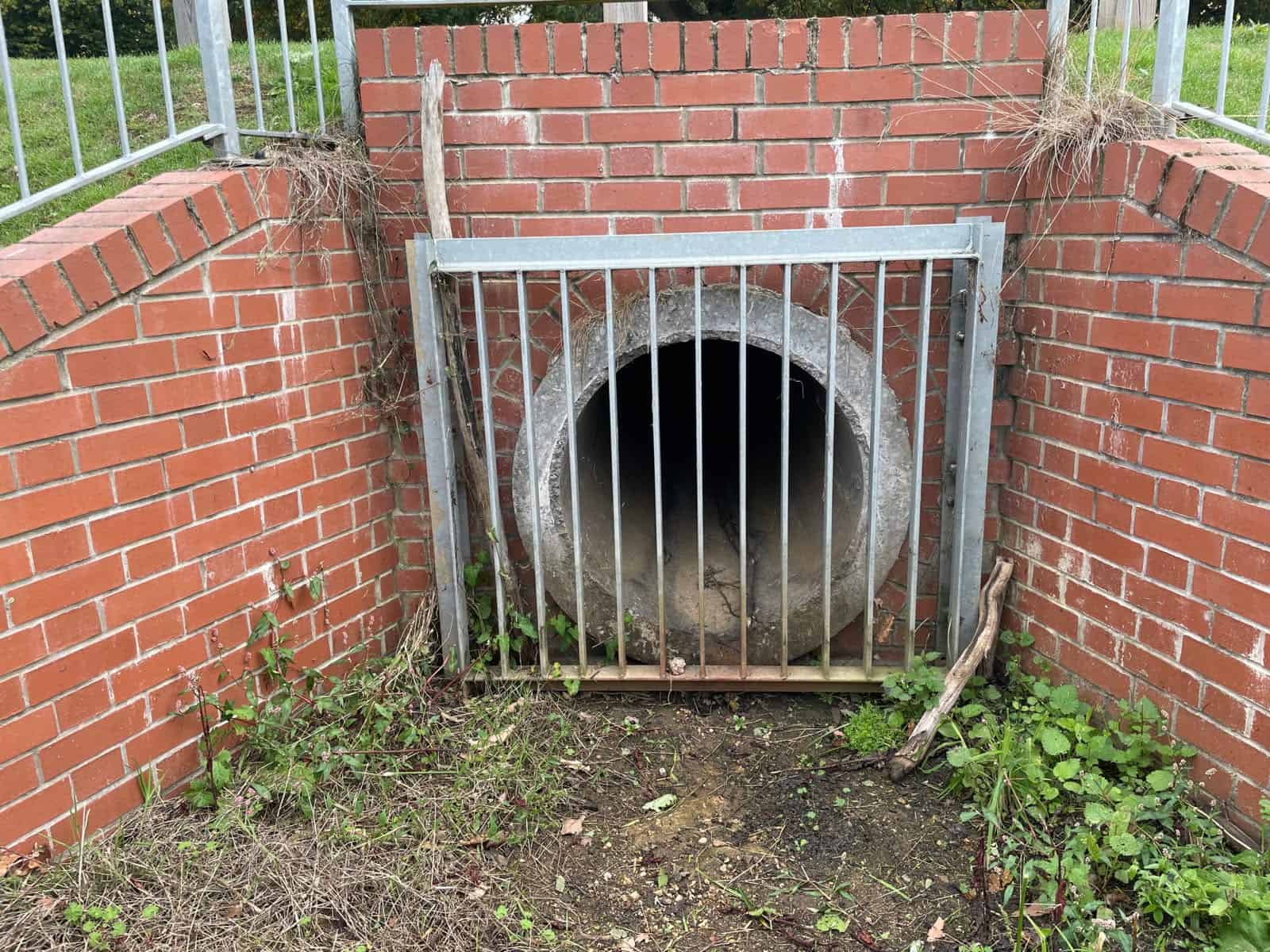
In February 2020, 159 homes and 10 businesses flooded in Pentre during Storm Dennis; the council's investigation found the primary cause was woody debris blocking the inlet of the Pentre Road culvert.
That finding comes from Rhondda Cynon Taf Council's Section 19 report. Councils carry out these Section 19 flood investigations after significant floods. After flooding on Havenwood Road in November 2023, Wigan Council's investigation found the culvert under Spencer Road West completely blocked and its inlet screen damaged. In Crawley, the Three Bridges culvert under Haslett Avenue surcharged in the autumn 2000 floods, closing two main roads for almost a day.
Because blockage is so likely, flood risk practice tests it rather than assuming a culvert stays clear. Natural Resources Wales publishes standard blockage scenarios in its GN 043 modelling guidance: 30%, 67% and 100% for culverts, against 5%, 25% and 80% for bridges. England has no equivalent published table, a gap explored in the article on blockage modelling after the 2026 Nepal disaster. Blockage sits within residual flood risk, the risk left once the culvert is assumed to work as designed.
The flooding is not always where a map would suggest. A Hampshire home in Flood Zone 1 flooded for the first time one winter; its culvert outfall case study shows both culverts could carry a 1 in 100 year flow, which pointed to debris at a narrowing outfall and a rare groundwater peak instead. That work was a flood risk assessment for insurance, commissioned to explain the cause.
Who is responsible for a culvert?
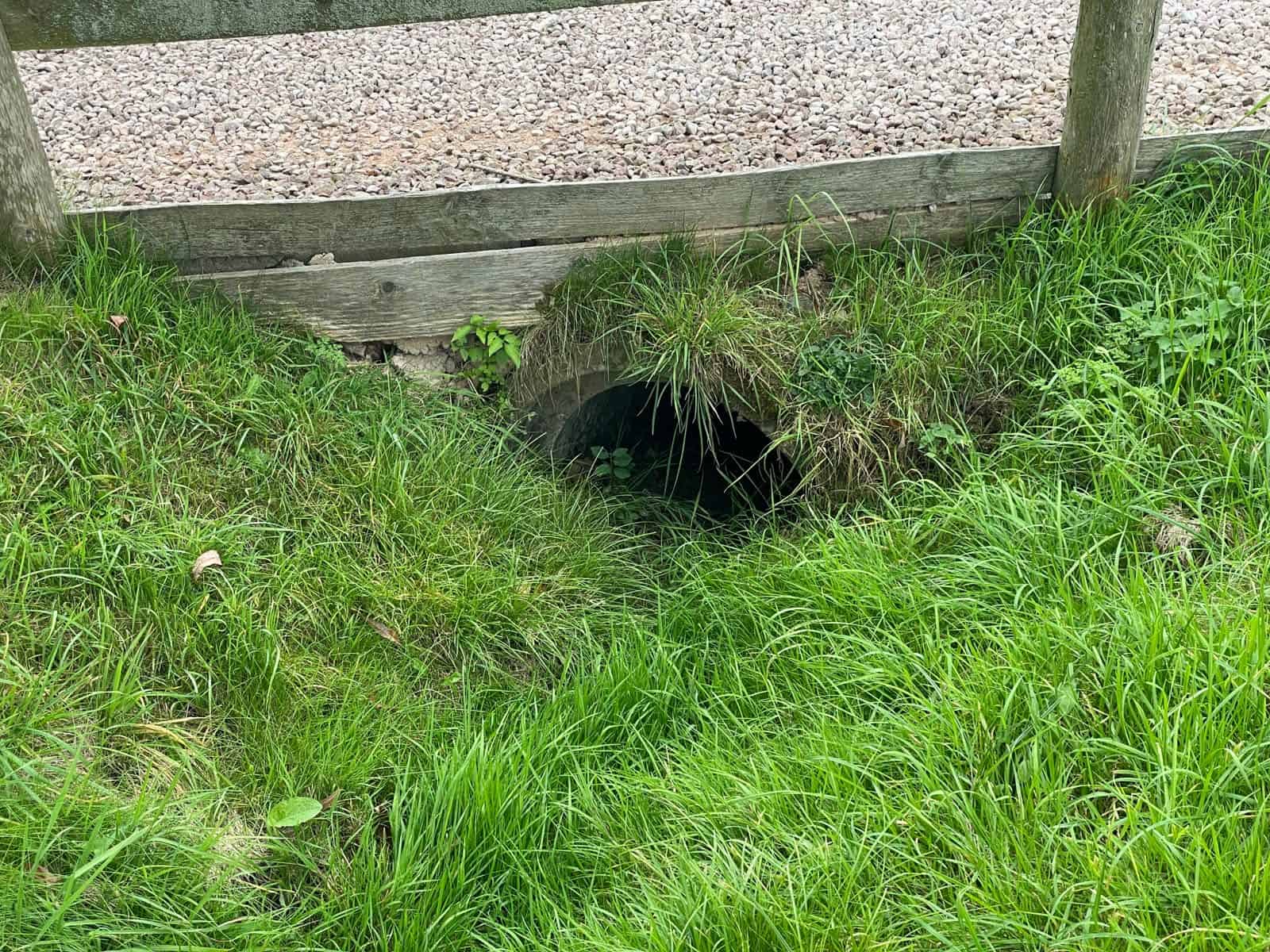
The owner of the land above a culvert is responsible for it in most cases. The Environment Agency's guidance on owning a watercourse says a landowner normally owns a watercourse that runs through an underground pipe or culvert on their land, and must keep any trash screen or other structure clear so water can flow. That landowner is the riparian owner.
Culverts under public roads are different. Under section 100 of the Highways Act 1980 a highway authority can build, cleanse and keep open the drains that serve a highway, and the Act's definition of a drain includes a culvert. Practice varies by council. Derbyshire County Council's riparian guidance says it maintains the length of watercourse beneath a road to protect the highway, while noting it is unlikely to own the land beneath it. Bracknell Forest Council's factsheet makes the other half of the point: a culvert under a private driveway, or in a ditch beside the road, stays with the landowner.
Where a culvert is neglected, the council or internal drainage board can serve a notice under section 25 of the Land Drainage Act 1991 requiring the person who controls it, or the owner of the adjoining land, to clear it. The duties, the boundary cases and the liability between neighbours are covered in the guide to riparian rights and ownership.
Do you need consent to build or replace a culvert?
Yes. Building a new culvert, extending one or altering one in a way that affects the flow needs consent before work starts, whatever the planning position. Who gives it depends on the watercourse, so the first job is to find out what kind of watercourse it is.
- Check whether it is a main river. The Environment Agency's Main River Map shows which watercourses are main rivers. The difference is set out in the guide to main rivers and ordinary watercourses.
- On a main river, the Environment Agency. Building a structure in, over or under a main river, including a culvert, is a flood risk activity under Schedule 25 of the Environmental Permitting Regulations 2016. It needs a flood risk activity permit, and no exemption covers a new culvert.
- In an internal drainage district, the drainage board. Inside a board's district, the board gives consent and may apply its own byelaws as well. The guide to internal drainage boards explains the two separate consents.
- Everywhere else, the lead local flood authority. On an ordinary watercourse outside a drainage district, consent comes from the lead local flood authority, usually the county or unitary council, under section 23 of the Land Drainage Act 1991.
Section 23 is specific about culverts: consent is needed to erect a culvert in an ordinary watercourse, and to alter a culvert in a way likely to affect the flow. The statutory fee is currently £50, and if the authority gives no decision within two months, consent is treated as given. The application process, the evidence needed and the penalties for unconsented work are in the ordinary watercourse consent guide. In Wales the same split applies, with Natural Resources Wales consenting work on main rivers.
Consent and planning permission are separate. A scheme can hold a full planning permission, granted after months of work on its layout, and still be refused consent for the one culvert its access depends on.
Why are new culverts discouraged?
New culverts are discouraged because they add a point that can block, and they cut a stretch of stream off from light and from the wildlife that uses it. The Environment Agency's own guidance says the authorities are unlikely to give permission to build one, and that culverts can increase flood risk and damage the environment. Since August 2026 that position also sits in national planning policy.
Development proposals should not enclose existing watercourses where this is not already the case, unless there are compelling reasons to do so; and should where possible remove existing culverts and renaturalise existing river channels, unless to do so would increase flood risk, result in other environmental harm or cause harm to heritage assets.
National Planning Policy Framework, August 2026, Policy F8(3)
That is part (3) of Policy F8 in the August 2026 National Planning Policy Framework, which took effect on 17 August 2026. It goes further than resisting new culverts. It expects development to take existing ones out where it can. Removing a culvert and reopening the channel is known as deculverting, one of the measures discussed in the article on sponge cities in the UK. The NPPF applies in England only; Wales relies on Planning Policy Wales and TAN15. The wider changes are in the summary of the NPPF August 2026 changes.
Local flood authorities set out the same position in their own policies. West Sussex County Council's culvert policy maintains a general opposition to culverting ordinary watercourses, accepts a crossing only where alternatives are shown to be unworkable, and expects any culvert to be at least 450 mm in diameter unless evidence shows otherwise. Leicestershire County Council also sets 450 mm and accepts short lengths for access where culverting cannot be avoided, while Devon looks for 600 mm. There is no single national minimum size.
The design reference behind these policies is CIRIA C786F, the Culvert, screen and outfall manual, published in 2019 for use across the UK. Its starting point, set out in the Environment Agency's project summary, is a presumption against building screens or culverts unless there is demonstrably no alternative.
What does a culvert mean for a development site?
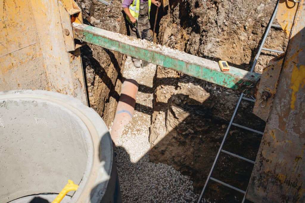
A culvert on or beside a development site is a constraint from the first sketch layout. It fixes where water has to be able to pass, where buildings cannot go, and whether the access the scheme depends on can be built at all. Leaving it to the drainage conditions stage is how schemes lose months.
A new culverted access is the clearest risk: if the authority refuses consent after planning permission is granted, the approved access cannot be built as drawn.
The impact on a scheme comes through four routes:
- No building over it. A building over a culvert stops it being inspected, cleared or replaced, and puts the building in the flow path if the culvert collapses or surcharges. Keeping it clear takes developable land out of the layout.
- An easement either side. Authorities expect an unbuilt strip for maintenance access. Many drainage boards look for up to 9 metres under their byelaws, and the Environment Agency's permit thresholds are 8 metres from a non-tidal main river and 16 metres from a tidal one.
- A capacity check. An existing culvert has to be shown to pass the design flood with climate change, including any extra runoff from the development, or the scheme has to show how flows bypass it safely.
- Consent for any change. A new access culvert or an extension to an existing one needs consent from the watercourse authority, and Policy F8 gives the planning authority a reason to ask why a clear-span bridge or open channel would not work instead.
For a new access over a ditch or stream, the realistic options are a clear-span bridge, which leaves the channel open, or a short culvert that meets the authority's size and design rules. Choosing the second without speaking to the authority first risks a refusal of consent after the layout is fixed, and the fix is then a redesign, possibly a fresh planning application, and a delay of months on top of the two-month consent decision.
Culvert crossing your site?
Find out early whether it limits the layout or the access. Send the site details for a fixed-fee quote, usually within 60 minutes.
Get a quoteHow Unda assesses culverts
Unda checks culverts as part of its flood risk assessments and drainage strategies, where a culvert sits on, under or downstream of a site. The method is the same each time. Work out the flow the culvert has to carry. Test whether it can. Then test what happens when it partly blocks.
That means estimating the design flow from the upstream catchment with the right climate change allowance, checking the culvert's capacity against it, and following the route downstream to the next culvert or outfall, because a clear culvert can still back up from below. On a development site the findings feed into a flood risk assessment for planning and the site's drainage strategy. For an existing property that has flooded, the same checks sit within a flood risk assessment for insurance.
For a quote, call 01293 214444 or email enquiries@unda.co.uk with the site address and what is proposed.
Frequently asked questions
Is it safe to go inside a culvert?
No. The Environment Agency's guidance tells owners not to go inside a culvert. The guidance warns of being trapped or poisoned by gases, and flow can rise quickly after rain upstream. Inspection is done from the ends or by CCTV survey.
How do you find out if there is a culvert under your land?
Look for headwalls at either end, or a stream that disappears into a pipe and reappears further on. The lead local flood authority keeps a register of structures that affect flood risk under section 21 of the Flood and Water Management Act 2010, and the title deeds or a drainage survey may also show one.
Who should a blocked culvert be reported to?
On a main river, report it to the Environment Agency. On an ordinary watercourse, report it to the council as lead local flood authority, or to the internal drainage board in a drainage district. For a culvert under a public road, contact the highway authority.
Can a landowner fit a trash screen to a culvert?
Not without consent, because a screen is a structure in the watercourse. CIRIA C786F starts from a presumption against new screens. A screen collects the debris that would otherwise pass through, so a neglected one becomes the blockage, and West Sussex expects any screen to be justified by an assessment first.
Can a neighbour culvert a shared boundary ditch?
Not on their own. Each owner normally owns a boundary ditch to its centre line, so a culvert along its full width needs both owners' agreement, and it needs consent from the lead local flood authority or drainage board whoever does the work. If work appears to have gone ahead without consent, report it to that authority, which can require unconsented works to be removed under section 24 of the Land Drainage Act 1991.
About the author. Edward is a co-founder and Director of Unda with 20+ years in flood risk and drainage, and a national-press commentator on flooding. Unda has been trading since 2014, is a CIWEM Business Partner with CIWEM member and chartered (C.WEM MCIWEM) consultants, and has delivered 5,000+ flood risk assessments and drainage strategies across England and Wales.
Edward Bouët · BSc (Hons)


One of our experienced Flood Risk Consultants will get back to you within 60 minutes
