What Does AOD Mean? Above Ordnance Datum, mAOD and Floor Levels Explained
Estimated reading time 19 minutes
AOD stands for above Ordnance Datum, the national zero that heights in Great Britain are measured from. A level written as 12.40 mAOD sits 12.40 metres above that zero, which is fixed at mean sea level recorded at Newlyn in Cornwall between 1915 and 1921. Surveys and flood models quote heights in metres above Ordnance Datum, and flood risk drawings do the same, so a ground level, a floor and a flood can be compared directly.
That is why the term turns up in every flood risk assessment for planning. A floor level on its own says nothing about flooding. Neither does a modelled flood level. Put both on the same datum and the gap between them shows whether a building stays dry, and by how much, which is the question a buyer, a lender and a planning officer are each asking in their own way.
Every mAOD level in a flood risk assessment traces back to six years of tide readings taken on a pier in Cornwall.
What does AOD mean?
AOD means a height above Ordnance Datum, the fixed reference level used by Ordnance Survey for the British mainland. mAOD is the same thing stated in metres. A positive value sits above the datum and a negative value sits below it, so -2.00 mAOD is two metres below the national zero. In construction and surveying, AOD tells anyone reading a drawing that a level is tied to the national datum rather than to a point on the site.
Four terms cover most of what appears on drawings and in reports:
- mAOD. Metres above Ordnance Datum. The standard unit for ground levels, floor levels and flood levels in England and Wales.
- AOD. The same reference without the unit. Older drawings and reports sometimes quote feet above Ordnance Datum, so check the unit.
- Plus and minus signs. A minus sign means the level is below Ordnance Datum, and the sign is easy to lose when levels are copied between documents.
- Site datum. An arbitrary local zero, such as a manhole cover set at 100.00. It works inside one drawing. It cannot be compared with a flood level until the survey is tied to Ordnance Datum.
Planning documents use negative levels routinely. A clarification note on AOD and above ground level, published on the Planning Inspectorate's site for the Riverside Energy Park application, gave a maximum base level for a waste bunker of -8m AOD, on a site whose ground levels were surveyed at 1.7m to 2.5m AOD.
Where is zero? Ordnance Datum Newlyn
Zero is Ordnance Datum Newlyn (ODN), the mean sea level recorded by a tide gauge on the pier at Newlyn harbour, Cornwall, from 1915 to 1921. Ordnance Survey adopted that value as the height datum for the British mainland. Every mainland height on an Ordnance Survey map, and every level stated in mAOD in a flood risk assessment in England and Wales, is measured from it.
Ordnance Survey's documentation on Ordnance Datum Newlyn confirms that the adopted value has never been changed, even though mean sea level at the gauge has. That is deliberate. A datum that moved with the sea would make every recorded height drift, and a floor surveyed in 1990 could not be compared with a flood level modelled in 2026.
Mean sea level at Newlyn has risen by about 1.8mm a year over the past century. The zero it was measured from has not moved.
That figure comes from Bradshaw and colleagues' century review of the Newlyn record, which also points out that the datum matched mean sea level only for the 1915 to 1921 period. So mAOD is not the same as height above today's sea. The effects of sea level rise on UK coastal flood risk are handled separately, through climate change allowances, not by resetting the datum.
Ordnance Survey records the datum as 4.751m below the reference bench mark inside the Newlyn Tidal Observatory. That mark fixes the datum on the ground at Newlyn.
Newlyn replaced an earlier datum. The Ordnance Survey account of 100 years of ODN records that the original Ordnance Datum was set 100 feet below a bench mark on St John's Church, Liverpool. Mean sea level at Newlyn became the datum during the second geodetic levelling of 1912 to 1921. Old records quoted to the Liverpool datum need a correction, which Ordnance Survey describes as negative in the south of the country and positive in the north. Islands beyond the reach of levelling, including the Isles of Scilly, the Isle of Man, Lundy, Orkney, Shetland and the Outer Hebrides, have their own local datums.
AOD, above ground level and chart datum
AOD is one of several height references in use, and mixing them up is a common source of error in reading levels. Above ground level (AGL) measures from the ground at that spot, so it changes as the ground rises or falls. Chart datum, used in tide tables, sits roughly at the lowest tide and is often several metres below Ordnance Datum on the coast.
| Reference | Where zero is | Typically used for | The trap |
|---|---|---|---|
| mAOD (Ordnance Datum Newlyn) | Mean sea level at Newlyn, 1915 to 1921 | Ground levels, floor levels, modelled flood levels | Not the same as today's sea level |
| Above ground level (AGL) | The ground at that point | Building and stack heights, depths of flooding | Changes across a sloping site |
| Chart datum | Roughly the lowest astronomical tide at each port | Tide tables and navigation charts | Liverpool -4.93m, Dover -3.67m, Southampton -2.74m relative to Ordnance Datum |
| Local gauge datum | A fixed point near the riverbed | River level readings | Not mAOD unless the gauge says so |
| Site datum | An arbitrary point, sometimes set at 100.00 | Early site drawings | Cannot be compared with a flood level |
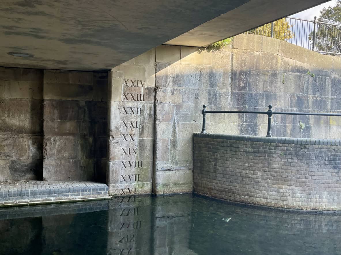
The chart datum offsets come from the National Tidal and Sea Level Facility's datum table. The difference matters on the coast. A predicted high tide of 9.0m in a Liverpool tide table sits at about 4.07 mAOD once the 4.93m offset is taken off, so comparing the tide table figure with a floor level in mAOD overstates the tide by nearly five metres. River gauges need the same care. The Environment Agency's explanation of how river, sea and groundwater levels are measured notes that river levels are usually read against a local datum near the riverbed. Depth marks cut into lock and dock walls work the same way, reading from a point in the chamber.

How are levels in AOD measured?
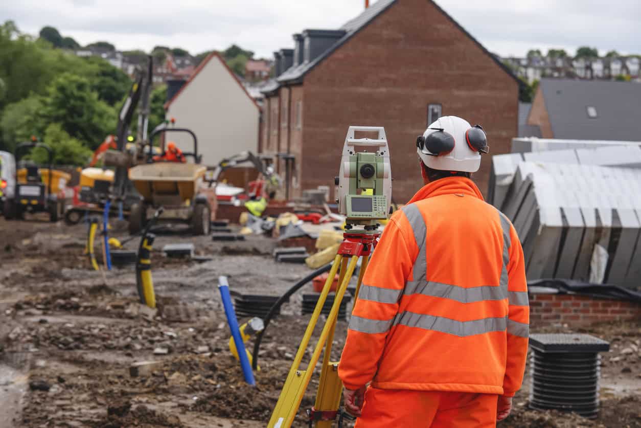
Levels in AOD come from three main sources: a measured topographical survey, national LiDAR terrain data, and satellite positioning converted to Ordnance Datum. Their accuracy differs widely: a measured survey is typically accurate to a few centimetres, national LiDAR to around 15cm. For a flood risk assessment that sets or tests a floor level, the survey decides it.
- Measure the site. A topographical survey records spot levels, existing floor and threshold levels, drainage and watercourse banks to within a few centimetres.
- Tie it to Ordnance Datum. Surveyors typically do this with satellite positioning and the OSGM15 geoid model, which Ordnance Survey states has a standard error of 8mm in height for Great Britain, before any receiver error is added.
- Check it against national data. The Environment Agency's LiDAR Composite terrain model covers most of England, but every survey within it had a stated vertical accuracy of plus or minus 15cm root mean square error, and it blends flights from June 2000 to April 2022.
- State the levels in mAOD. Every level in the report is then quoted on the same datum as the modelled flood levels.
LiDAR is good enough for catchment context and not good enough for setting a floor. The guide to LiDAR data in the UK shows why a 15cm error can take up a large share of the margin a floor level depends on. Old Ordnance Survey bench marks, the arrows cut into walls, are no longer a safe shortcut: Ordnance Survey's bench mark search warns that their heights have not been maintained for over 40 years and should not be relied on to define Ordnance Datum. The guide to GIS for flood risk and drainage covers the separate problem of satellite heights that were never converted to Ordnance Datum.
What is a finished floor level?
A finished floor level, or FFL, is the height of the top of a floor in a building, stated in mAOD on flood risk drawings. In a flood risk assessment, the FFL that matters is the floor of the lowest room in the building, which is the level the Environment Agency's standing advice asks applicants to provide, and the level floodwater has to reach before a building floods internally.
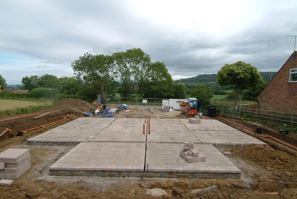
Conventions differ in one detail. Some architects take FFL as the top of the screed or floorboards before any finish is laid, while others include the finish. The difference is the thickness of the finish, usually no more than a few tens of millimetres, but a drawing should say which convention it uses. On a beam and block ground floor, the top of the beams and blocks is the structural level; insulation and screed, or a floating floor, then build it up to the finished floor level.
Two related terms often sit alongside it:
- Reduced level (RL). A surveyed level of any point, reduced to a datum. An RL can be the ground, a kerb or a manhole cover.
- Structural slab level (SSL). The top of the structural slab before screed or finishes. It sits below the FFL.
A finished floor level is a reduced level with consequences: it decides whether the building floods.
How is a floor level compared with a flood level?
A floor level is compared with a flood level by subtracting one from the other, once both are in mAOD. The flood level used is the design flood level: the modelled water level for the design flood, including an allowance for climate change. If the floor sits above it with enough margin, the building stays dry in that event. If it sits below, water reaches the floor, and unless the building is designed to keep water out, the depth inside equals the flood level minus the floor level.
The example below uses illustrative figures, not a real site.
| Level | mAOD | What it tells the reader |
|---|---|---|
| Average ground level | 12.40 | Where the site sits now |
| Adjacent road level | 12.30 | Relevant to access and to the floor level rule |
| Design flood level (1% annual probability plus climate change) | 12.85 | The modelled water level the floor is tested against |
| Depth of flooding on the ground | 0.45m | 12.85 minus 12.40 |
| Proposed finished floor level | 13.45 | The floor of the lowest room |
| Freeboard | 0.60m | 13.45 minus 12.85 |
For river and sea flooding in England, the design flood level normally comes from Environment Agency model outputs where a model exists, supplied as Product 4 flood data and already stated in mAOD. The climate change element follows the climate change allowances for flood risk assessments. Newer Environment Agency flood depth data for rivers and sea gives depth above the ground in bands, not a level, so it needs a surveyed ground level before it can be compared with a floor. Probabilities in these tables are explained in the guide to flood return periods and annual probability.
What is freeboard?
Freeboard is the extra height between the design flood level and the finished floor level. The national standards for sustainable drainage describe it as the distance between the design water level and the threshold of a structure, provided as a precautionary factor of safety. It exists because a modelled flood level is an estimate, and the margin allows for the uncertainty in that estimate and in the levels it is compared with.
National planning guidance on flood risk defines the flood the floor is tested against:
This is a flood event of a given annual flood probability, which is generally taken as: river flooding likely to occur with a 1% annual probability (a 1 in 100 chance each year); or tidal flooding with a 0.5% annual probability (1 in 200 chance each year); or surface water flooding likely to occur with a 1% annual probability (a 1 in 100 chance each year), plus an appropriate allowance for climate change.
Planning Practice Guidance: Flood risk and coastal change, Paragraph 002, Reference ID 7-002-20220825
Neither the National Planning Policy Framework of August 2026 nor the Planning Practice Guidance sets a freeboard figure. Policy F7 of the Framework asks only that development in a location at risk of flooding be safe throughout its lifetime and appropriately flood resistant and resilient.
The figures most applicants meet come from the Environment Agency's flood risk standing advice, last updated on 28 May 2026. For vulnerable development it sets finished floor levels at a minimum of 600mm above whichever is higher of the site's average ground level, the adjacent road level and the estimated river or sea flood level. The 600mm can be reduced to 300mm where there is a high level of certainty about the flood level, may need to increase where uncertainty is high, and sits alongside any additional requirement in the local strategic flood risk assessment. For minor extensions, the advice recommends floors at least 600mm above the estimated flood level, again reducible to 300mm with high certainty. Strictly, only the flood level test is freeboard: the ground and road tests set a minimum floor height even where no river or sea flood level applies. The guide to planning with flood risk standing advice explains when that advice applies and when the Environment Agency is consulted directly.
Surface water is covered separately. Standard 3.37 of the National Standards for Sustainable Drainage Systems, which Policy F8 of the Framework now requires sustainable drainage to follow, calls for freeboard against flooding from the drainage system of any building, susceptible utility plant or safe access and escape route, sized to reflect the uncertainty and the consequence of flooding. It sets no figure. The guide to the national SuDS standards covers the rest of those requirements.
Wales works differently. Technical Advice Note 15 sets no floor level freeboard. It requires highly vulnerable development to be flood-free in the 1% river or 0.5% sea flood plus climate change, or the 0.1% flood for emergency services (Figure 5), and limits flooding in the 0.1% event plus climate change to 600mm deep and 0.15 metres a second (Figure 6).
In the worked example, the flood level is the highest of the three, so the minimum floor is 12.85 plus 0.60, which gives 13.45 mAOD.
What happens when a floor sits below the design flood level?
A floor below the design flood level floods in the event the assessment was built to test. For a planning application, that makes Policy F7 of the Framework hard to meet: development in a location at risk of flooding should be refused unless it will be safe throughout its lifetime and is appropriately flood resistant and resilient. For an existing home, it means water would reach the floor at that probability unless the building keeps it out.
- Refusal risk. The Environment Agency's standing advice is direct: "Internal flooding of new vulnerable development like residential dwellings is unlikely to be considered appropriately flood resistant and resilient." Where the Agency is consulted, an Environment Agency objection on flood risk is the usual first sign.
- Raising the floor. Lifting the floor fixes the level, but raised ground or a solid plinth can remove floodplain storage, which then has to be replaced through level-for-level compensatory flood storage. Where the full height cannot be reached, the standing advice asks for the floor to be raised as far as possible, vulnerable uses moved to upper floors and resistance and resilience measures added.
- Building over a void. Raising the building over an open void lets water pass beneath. The guide to floodable voids and building on stilts covers what the Environment Agency expects.
- Access still has to work. A dry floor does not help if the route out is under water. Safe access and egress is tested against the design flood too, and dry island sites show the problem at its sharpest.
- For buyers, cost and cover. A home whose floor sits below the design flood level can be expected to flood internally at that probability unless it is built to keep water out. That affects insurance terms, resale value and the case for resilience measures.
Is the floor above the flood level?
Buying a home flagged for flood risk? A property-level survey sets its floor against modelled flood levels in mAOD before exchange. Quotes within 60 minutes on a working day.
Get a quoteLevels in an Unda flood risk assessment
This section covers how Unda handles levels, for readers deciding what kind of assessment they need. Every level in an Unda flood risk assessment is stated in mAOD, from the surveyed ground and floor levels to the modelled flood levels and the freeboard between them, so the comparison can be checked line by line.
Unda licenses and maintains access to a large proportion of the Environment Agency's hydraulic models, so modelled levels can often be reviewed before a formal data request returns. Estimated levels are labelled as estimates. Where a floor level has only been taken from a walkover or LiDAR, the report says so and recommends a topographical survey before anyone relies on the result. Where the margin between floor and flood level is small, a 150mm error in the floor level can decide whether a house floods in that event. The Riverside House case study at Goring-on-Thames shows the approach applied to a purchase: modelled Thames levels were set against an estimated floor level, which water reached in a 1 in 75 year event.
For a planning application, the levels work sits inside a flood risk assessment for planning. For a purchase, it is the core of a flood risk survey when buying a house. To discuss a site, call +44 (0) 1293 214444 or email enquiries@unda.co.uk.
Frequently asked questions
Does raising a floor affect level access?
Yes, in most cases. A floor lifted above the flood level leaves a step up from the surrounding ground, so ramps, graded paths or a raised external level are often needed to keep step-free access. Those features take space, and any raised ground in a floodplain can bring its own compensatory storage requirement, so they are best designed at the same time as the floor level.
What does a negative AOD value mean for flood risk?
Nothing on its own. Negative levels are normal for basements, tunnels and excavations, and for some very low-lying land such as parts of the Fens. Whether a site floods depends on how its ground and floor levels compare with the flood level and on any defences, not on the sign of the number.
Why might the floor level in a report differ from the architect's drawing?
There are three common reasons. The drawing may use a site datum rather than Ordnance Datum; it may take FFL to a different point, such as the top of the screed instead of the finish; or the report may rely on an estimated level where no floor survey exists. All three are resolved by stating every level in mAOD from one surveyed source.
Can a homeowner find the AOD level of a house without a survey?
Only roughly. Spot heights and contours on Ordnance Survey maps, and free Environment Agency LiDAR data, show ground levels, not floor levels, and LiDAR has a stated accuracy of plus or minus 15cm, often worse on vegetated or built-up ground. Judging a floor against a flood level needs a measured survey of the floor and threshold levels, tied to Ordnance Datum.
Do Wales and Scotland use the same datum?
Yes, on the mainland. Ordnance Datum Newlyn is the height datum for mainland Great Britain, so levels in Welsh and Scottish reports are measured from the same zero as in England. Islands beyond the reach of levelling, including Orkney, Shetland and the Outer Hebrides, use their own local datums.
About the author. Kacper is a Flood Risk and Drainage Consultant and Unda's in-house GIS and automation specialist, working in QGIS, ArcGIS Pro, Python and R. Unda has been trading since 2014, is a CIWEM Business Partner with CIWEM member and chartered (C.WEM MCIWEM) consultants, and has delivered 5,000+ flood risk assessments and drainage strategies across England and Wales.
Kacper Buksa · MSc, BSc (Hons)


One of our experienced Flood Risk Consultants will get back to you within 60 minutes