Why Mexico City is sinking: the lake it drained, and the ground that followed
Estimated reading time 22 minutes
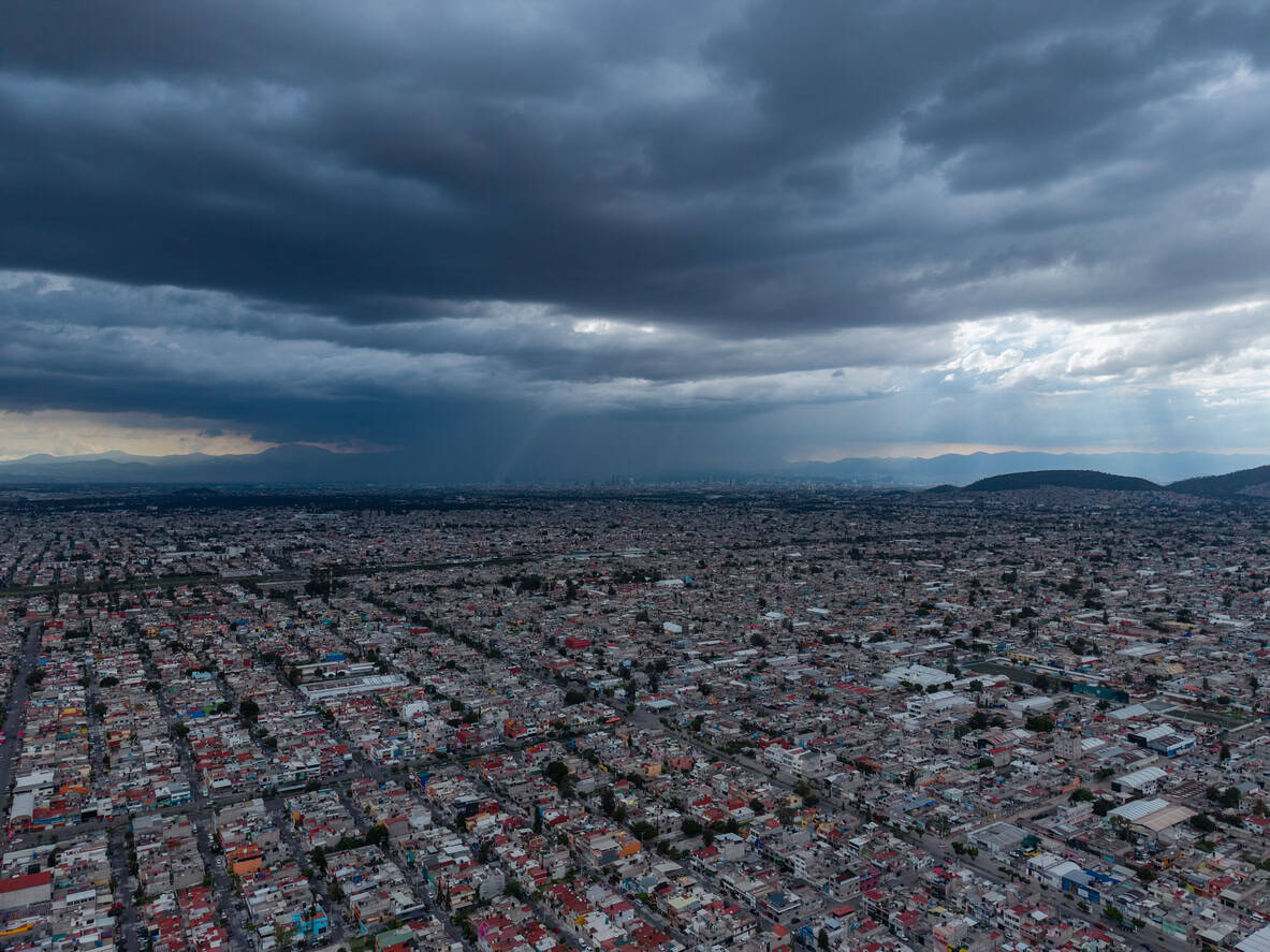
Mexico City is sinking, and the cause is neither climate change nor bad luck. The ground is falling because water was taken out from underneath it, and the fine grains of an old lakebed have been repacking themselves ever since. That began in 1607, when the Spanish set about draining the lakes the city stood on. Four centuries later it needs deep tunnels and pumping stations to get rainwater out of a basin it opened deliberately, and it floods anyway.
Draining land is not one intervention with a fixed benefit. It is a commitment to keep draining, indefinitely, on ground that keeps getting lower.
This is the fourth piece in our series on the history of drainage, after Roman drainage and flood management and the clustered European floods of 1342, and the most argumentative of the four.
How fast is Mexico City sinking?
It depends where you stand, and the difference matters more than the headline. The figure that travels, around 50 centimetres a year, is a single measured peak in the drained lakebed east of the city, in the State of México rather than the Federal District. In the historic centre, where visitors photograph the leaning cathedral, Cigna and Tapete measure the rate at nearer one to nine centimetres a year.
| Figure | Where it applies | Peak or typical | Source |
|---|---|---|---|
| ~50 cm/yr | One point west of Nabor Carrillo lake, in the drained lakebed | Single measured peak | Chaussard et al., 2021 |
| ~39 cm/yr | Iztapalapa and Nezahualcóyotl | Borough peaks | Cigna & Tapete, 2021 |
| up to 8.8 cm/yr | Metropolitan Cathedral, in the historic centre | Local, steady for six decades | Cigna & Tapete, 2021 |
| 7.5 m cumulative | City centre, 1940–1985 | Measured by levelling | Chaussard et al., 2021 |
| up to 38.7 m cumulative | Fastest point only, 1950–2020 | Modelled, assumes a constant rate | Chaussard et al., 2021 |
Two caveats travel with that table. The cumulative figures are modelled rather than surveyed: Chaussard and colleagues assumed a constant rate from 1950 to 2020 and derived elevation loss from it. It is also contested science: Khorrami and colleagues, working with radar and gravity data, reported in 2023 that their conclusion was "at odds with the interpretations made by Chaussard et al. (2021)". The most recent measurement is NASA and ISRO's NISAR mission, which found parts of the area dropping more than two centimetres a month between October 2025 and January 2026.
This is where the subject stops being foreign. Finished floor levels, freeboard, flow routes and compensatory storage are all measured from a ground surface assumed to stay where the survey found it. Where that assumption fails the arithmetic fails quietly, which is why a flood risk assessment for planning ties its levels to Ordnance Datum rather than to anything local and moveable.
What happened to Lake Texcoco?
People have been rebuilding the floor of this basin for two thousand years, and every round of engineering inherited the ground the last one left. Teotihuacan, forty kilometres to the north east and already a ruin by the time the Mexica arrived, straightened the Río San Juan so that it ran on the city's grid for three kilometres through the centre. A 2021 lidar survey of the valley, published under the title Humans as geomorphic agents, found that about 65% of the modern built-up area still follows those alignments.
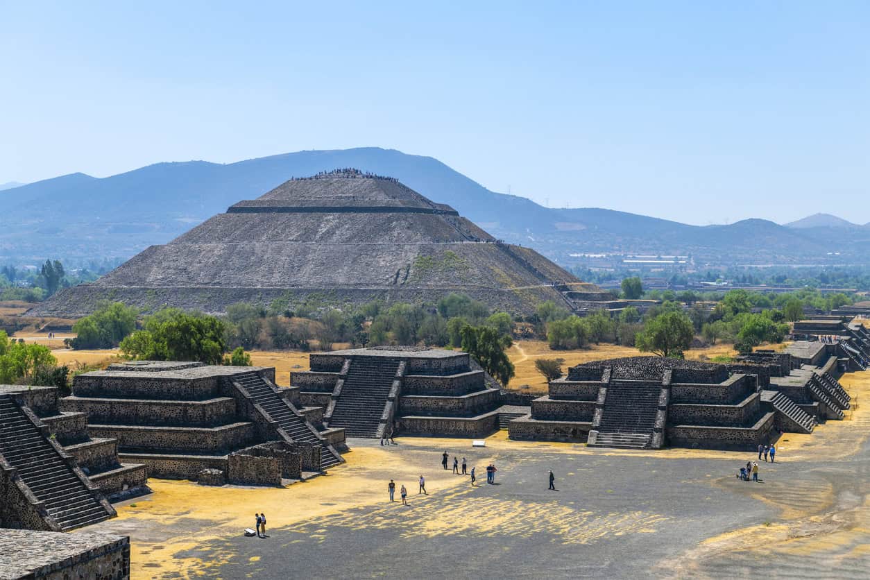
Lake Texcoco was the largest of five shallow, connected lakes on the floor of a closed basin, one with no natural outlet to the sea. Tenochtitlan sat on an island in it, and the Mexica did not fight the water so much as operate it. Three pieces of infrastructure did the work.
- The albarradón de Nezahualcóyotl. A dyke roughly 16 km long and about 8 m high, of earth and stone flanked by timber palisades against erosion, thrown across the lake in about 1450 after the flood of 1449. Sluice gates regulated flow and let canoes through, and it held a controlled, freshened western lake apart from the saline main body.
- The causeways. Raised stone-and-earth roads to Tepeyacac, Iztapalapan and Tlacopan, pierced at intervals by cuts spanned with removable timber bridges. They carried traffic and doubled as embankments.
- The chinampas. Between 9,000 and 12,000 hectares of raised beds in the shallows, standing about half a metre above the water and separated by a grid of canals. The classic account has them watered from below by capillary rise, though field measurement by Crossley in 2004 found that a minor factor alongside manual irrigation.
Of the three, the dyke is the one usually skipped, and the one that matters most. Reliability analysis by Mendoza-Lugo and colleagues at Delft puts its annual probability of overtopping at about 0.012, a return period of roughly 83 years, consistent with the record of no failure across its service life, 1450 to 1519. It did not survive because the Mexica were fortunate, but because it was built for the loading it received.
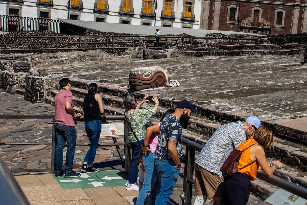
The ceremonial centre of Tenochtitlan is still there, excavated in the middle of the modern city beside the cathedral. What the visitors are leaning over is the base of a temple that stood on an island, in a lake, behind a dyke.
It sits below the modern pavement mostly because of the made ground piled over it after 1521 rather than because the ground has dropped. That distinction is worth keeping straight.
How the lake system ended
None of which made Tenochtitlan flood-proof. At the end of the century it flooded again when Ahuítzotl piped the Acuecuexco spring in. The chronicler Diego Durán records that Tzotzomatzin, lord of Coyoacán, warned the spring burst its banks periodically and would drown the city, and that Ahuítzotl had him strangled for saying so. Durán also preserves a rival tradition in which Tzotzomatzin lived. These are chronicles, not records.
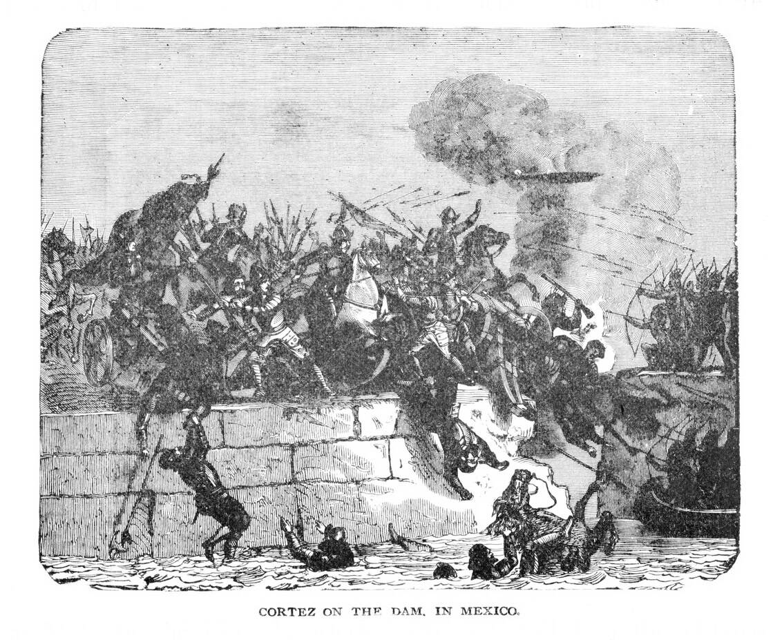
The system ended as a casualty of war. In 1521 Cortés had the dyke breached so his thirteen brigantines could pass between the lakes during the siege, and it was never properly restored: the viceregal authorities judged it not worth maintaining and built a shorter dyke nearer the city. After the floods of the 1550s the strategy inverted altogether. Stop managing the lakes, and remove them.
Does Lake Texcoco still exist?
A fragment does. The Parque Ecológico Lago de Texcoco, declared a protected natural area in 2022 and opened permanently in January 2026, covers about 14,000 hectares of the old lakebed and holds from roughly 2,200 hectares of open water at the end of the dry season to over 4,500 in the rains. It is a real, legally protected wetland, built on the site of a cancelled airport and holding a small fraction of what was drained.
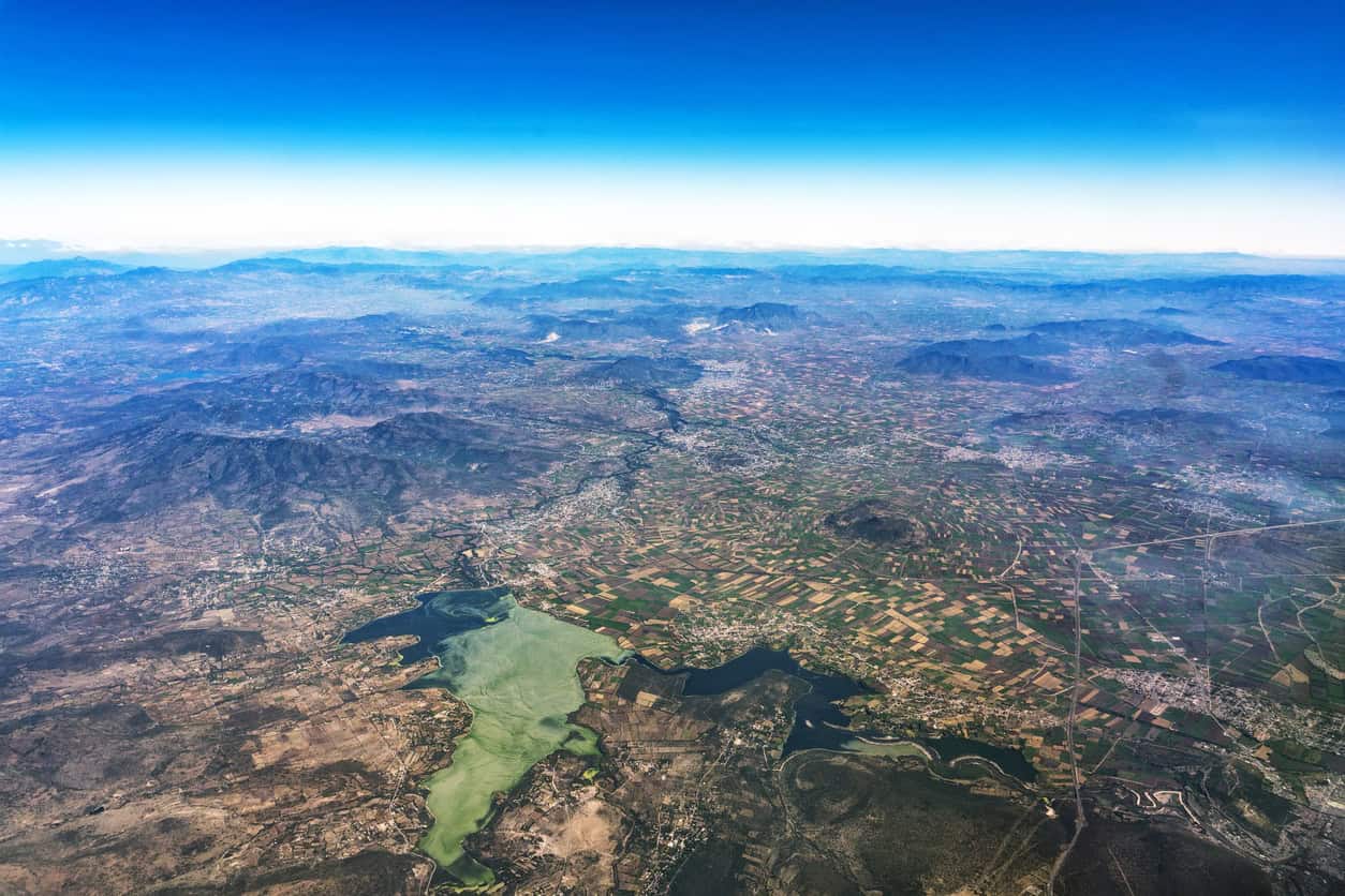
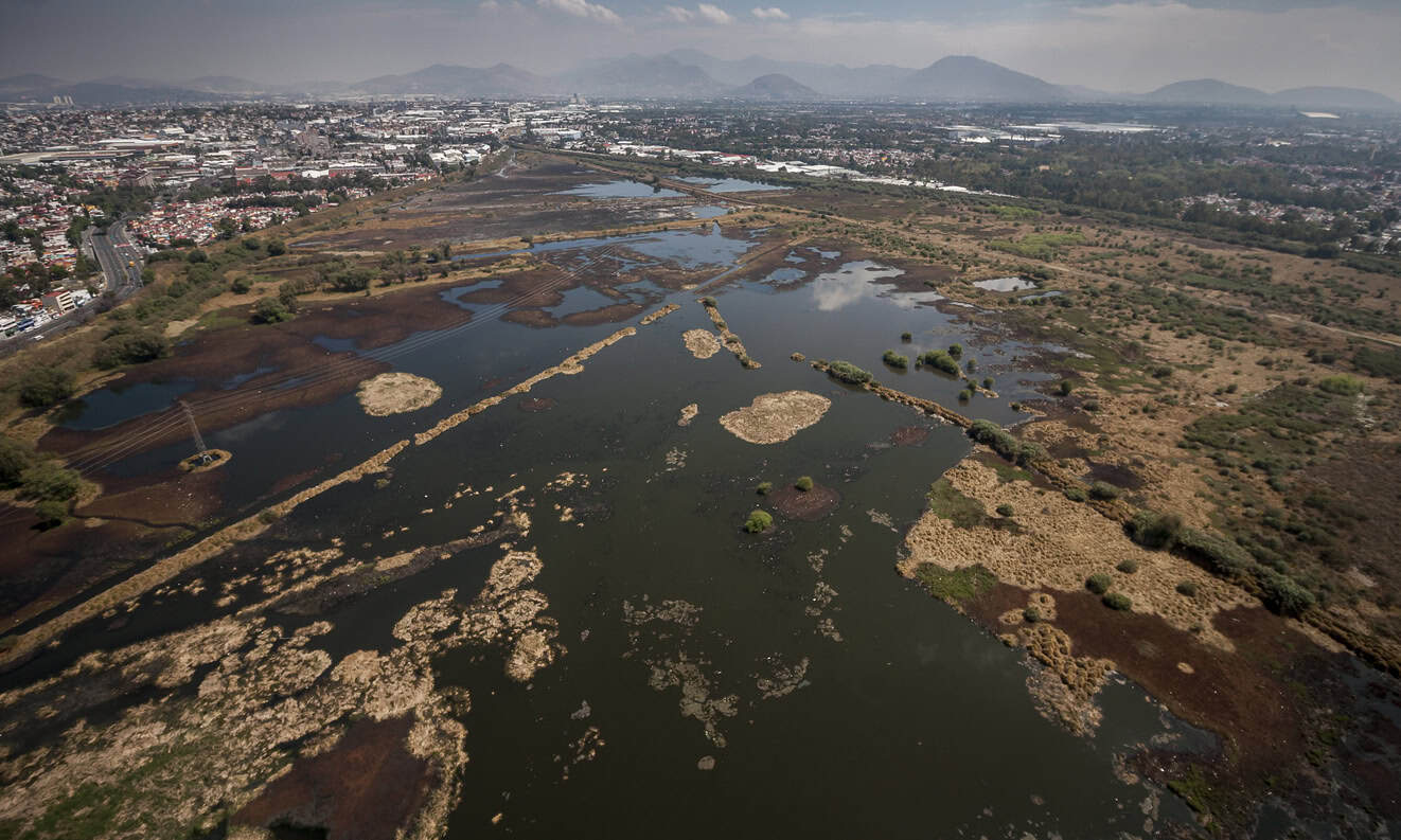
Neither picture is a lake in the sense the Mexica would have recognised. Both are what a basin looks like once its water has become something to be managed on purpose rather than something that is simply there.
The Desagüe: draining a basin with no outlet
A closed basin sheds water only by evaporation and infiltration, so to drain one you have to cut through the rim itself, which is what the Desagüe set out to do at a scale nobody in the Americas had attempted. The account below follows Gurría Lacroix's UNAM study of the surviving colonial records.
- In 1607 the Crown approved Enrico Martínez's scheme to carry the northern lakes out of the basin altogether. Work began on 29 November, the viceroy turning the first spade.
- Within eleven months the works ran about 13.4 km: roughly 6.3 km of open cut more than ten metres deep, then a tunnel of about 6.4 km sunk through 42 shafts, the deepest close to 48 m. Labour came by repartimiento, in numbers contemporaries put between about 40,000 and 60,000.
- On 17 September 1608 the viceroy watched water run the length of the tunnel, and the archbishop blessed the works.
Work then ran for the better part of two centuries, the tunnel eventually opened out into a vast cut, the Tajo de Nochistongo, which was not formally received until 1789 — 182 years after that first spade. The Gran Canal del Desagüe, the outfall the modern city came to depend on, opened on 17 March 1900: 47.5 km of canal to Zumpango and a ten-kilometre tunnel through the hills at Tequixquiac, falling by gravity at about 16 centimetres per kilometre.
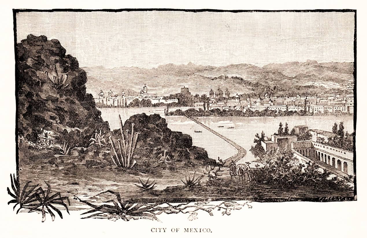
Hold on to that gradient of 16 centimetres per kilometre. It becomes the point of the whole article.
The flood that lasted five years
On 21 September 1629 it rained on Mexico City for about a day and a half. When it stopped, water stood in the streets two varas deep, about 1.7 metres, "where it was least".
Its residents and native people abandoned it. The streets and squares were full of these boats. The bodies of the dead were carried to the churches in canoes. And most of the houses that were not built of lime-and-sand mortar fell down in this flood.
Fray Alonso Franco, Dominican chronicler, on the flood of 1629
The Desagüe, which existed precisely to prevent this, did not help, because its outlet was closed. Martínez told his interrogators the tunnel had choked on fallen rock; Humboldt later wrote that the true cause was never established, and that it was said Martínez shut the gallery himself. Either way, when the rain came, the outlet was not open.
Parts of the city stayed under water for roughly five years, into 1634, and the Crown considered moving the capital. The death toll usually quoted, thirty thousand, comes from the Archbishop's letter to the King of October 1629, in the same sentence as a claim that of twenty thousand Spanish families only four hundred householders remained, which is plainly not what happened. Louisa Hoberman, in the standard scholarly account, notes that nobody knows the city's population in 1629. Thirty thousand is an appeal for relief, not a count.
Why is Mexico City sinking? The mechanism in five steps
The short version says they drained the lake, so the city sank. That is wrong in a way that matters, because it puts the cause one step too early and makes the argument easy to dismiss. The real chain has five links.
- The Mexica managed the lakes: a dyke separating fresh water from saline, causeways acting as embankments, and cultivation dependent on a permanently high water table.
- The Spanish removed the dyke, then from 1607 drained the basin out through the Desagüe, converting a closed basin into a drained one.
- With the lakes gone and the springs eventually exhausted, the growing city had no surface water source and turned to the aquifer beneath it.
- Abstraction drew the water table below the base of an upper aquitard up to about 100 m thick: a salty, clay-rich lakebed whose very fine grains have been repacking more tightly ever since, drawing on the recharge that no longer arrives.
- That compaction is uneven, so it destroys the drainage gradients the city depends on.
Step three is the hinge, because draining the lakes did not cause the subsidence directly: it removed the surface water supply, which created the dependence on groundwater, which caused the subsidence.
The compaction is inelastic, which is the technical way of saying permanent. Chaussard's team found effectively no elastic rebound in the record, and concluded that even if groundwater levels were raised there is no hope of recovering most of the lost elevation. Clay does not spring back.
Why a sinking city floods worse, not better
Because gravity drainage depends on a gradient, and subsidence destroys gradients. This is the part of the story almost nobody tells, and it is the part that transfers.
The Gran Canal was built to carry about 80 cubic metres a second in 1975. By 2008 it was carrying roughly 15, because the ground it ran through had sunk unevenly and taken its fall with it.
That is the argument in one statistic. A city that removed its lakes so water would run out of the basin has spent the last half century rebuilding the capacity it lost, most recently with the 62-kilometre Túnel Emisor Oriente, completed in 2019 at roughly three and a half times its original cost, and running 55 to 150 m down, deep enough to be out of reach of the settlement above it.
Unevenness does the damage. Ground that settles uniformly keeps its falls, while ground that settles differentially creates new low points, reverses pipe gradients and shears joints wide enough for the surrounding soil to start finding its way in. Hollows appear exactly where the drawings say water should run away, so surface water flooding turns up in places the network was never designed to serve, and a system that once ran by gravity works only when the pumps do.
The evidence is not historical. In 2025 Mexico City recorded its wettest rainy season in 42 years, averaging 991 mm against a 1982–2024 mean of 743 mm, and civil protection activated its highest alert eight times between June and September. Worst hit were the eastern boroughs, which sit on the old lakebed and had less rain than the west of the city. The flooding tracked the ground, not the rainfall.
Is the same thing happening in England?
Not at this scale, and not by this mechanism. England is not abstracting from a hundred metres of lacustrine clay, the timescales differ by an order of magnitude, and English lowland drainage produces real agricultural value this article is not pretending away. What transfers is the shape of the problem: drain compressible ground and it comes down; once down it stays down; the soil itself changes as it goes; and the drainage system works harder each decade to do the same job.
| Case | Mechanism | What followed |
|---|---|---|
| Dutch coastal peat, from about AD 1000 | Drainage-driven oxidation (at least 66%) and peat excavation (34%) | 19.8 km³ of peat gone; the coastal plain lowered 1.9 m on average; 26% of the Netherlands now below mean sea level |
| The English Fens, 19th century onwards | Pumped drainage; peat wastage by oxidation and shrinkage | Around 12 mm/yr on average, individual sites measured at 10–25 mm/yr; Holme Fen down about 4 m and now the lowest land in Britain |
| Holderness Level, East Yorkshire, 1840–1880 | Farmers' tile under-drainage delivering water faster to the main drains | Peak flows increased; by 1854 about a sixth of the land still flooded in winter, worst when the Marfleet outfall was tide-locked |
Holderness is the one to sit with: a documented English case of field drainage making flooding worse, recorded at the time by the people it happened to. The Dutch figure repays a second look too, because the usual framing gets it backwards. Erkens and colleagues found that sea level rise over the same thousand years was, in their words, "close to zero". The Netherlands did not sink to meet a rising sea. It was drained down to it.
England has its own measuring stick. The Holme Fen post was driven through the peat into the clay beneath and cut level with the ground around 1850, as Whittlesey Mere was drained. About four metres of it now stands proud. Nearly two of those came in the first decade alone; the rate is now closer to ten millimetres a year. That decay curve has the same shape as an aquifer compaction curve, for the same underlying reason. The Fens 2100+ evidence base carries the detail on the peat paradox, asset condition and cost that this article deliberately does not, and internal drainage boards keep the Somerset Levels and the Fens working.
What this means for lowland England now
Around 80% of England's peatlands are dry and degraded, and drained lowland peat accounts for 88% of all emissions from peat in England. Defra put that figure out again in June 2026, alongside the point that England's peat soils hold more than half the country's terrestrial carbon. Only 13% remain near-natural; in the lowlands, less than 1%. A 2013 Cranfield study for the Climate Change Committee's Adaptation Sub-Committee put the remaining life of East Anglian fen peat under arable farming at 25 to 50 years, "and considerably less on thinner peats". Defra's own figure is blunter: in parts of the lowlands, only enough soil left to farm as we do now for another 30 years.
England is currently running an open application window to pay landowners to put water back into drained lowland peat. The £36 million Lowland Peat Water Implementation Grant closes on 18 September 2026.
That is the inverse of the Mexico City trajectory, reached four hundred years later and for largely different reasons. The grant sits inside a peat programme worth around £85 million to 2030, and follows the Water for Peat pilots of 2024. Underneath it is a 2021 Nature paper finding that effective water table depth overrides every other control on peatland emissions, and that each 10 cm the water table is raised, down to 30 cm below the surface, is worth at least three tonnes of CO₂ per hectare per year. Whether England physically has the water, and whether the topography left after a century of subsidence even permits it, is what UKCEH's LowlandPeat3 project is measuring now, reporting in 2027.
Three things follow for anyone developing on or near drained lowland peat.
- Historic ground levels are not a baseline. On wasting peat the surface is a moving target. Levels from an old survey or a LiDAR tile of uncertain vintage should be re-established rather than inherited, and a groundwater assessment should establish, by groundwater monitoring, where the water table sits now and what design groundwater level follows from it.
- Water level management is changing around you. If neighbouring land enters a rewetting scheme the water table under a site may rise, whether or not anyone consulted you. The England Land Use Framework makes the direction of travel explicit.
- Gravity is not guaranteed. A scheme falling to an outfall on ground that is still settling should be checked against the fall it will have in thirty years, not today. Where the answer is pumped drainage, that is a maintenance liability someone carries.
Getting the causation right
Five things this subject is routinely wrong about, including in places that ought to know better.
- "They drained the lakes and the city sank." Too crude. Draining the lakes created the dependence on groundwater; the abstraction caused the compaction. Skipping that step makes the claim easy to refute.
- "Mexico City is sinking because of climate change." It is not. Climate change worsens the water scarcity, which worsens the abstraction, but the mechanism is mechanical rather than climatic.
- "It can be stopped by pumping less." Only partly. Reducing abstraction slows further subsidence but recovers nothing, and residual compaction continues even after water levels recover, because clay drains so slowly. This is the sentence the English peat argument turns on.
- "The Aztecs had no flood problems." They did. A flood in 1449 prompted the dyke, and the Acuecuexco aqueduct drowned the city fifty years later. The narrower, stronger claim is that the dyke did not fail in 69 years of service, and that reliability analysis says that is consistent with its design rather than with luck.
- "Sponge cities would fix it." They would not. The problem is a hundred metres of compacting clay, not surface permeability. Sponge-city measures earn their place at the frequent end of the range, on the surface, which is a different job.
One further honesty. The claim that draining land raises downstream flood risk is well evidenced for upland peat and much weaker for the lowland agricultural peat this article is really about, where monitoring has mostly stopped at the water table and demonstrated effects are confined to catchments smaller than about 20 km². The Environment Agency's working with natural processes evidence directory is candid about how thin the lowland evidence is. Restoration is not automatically benign either: delaying a tributary's peak can push it into coincidence with the main river's, as we have written about in the evidence gap in nature-based flood management and in the shortfall on catchment tree planting. The clearest lowland link is not about peak flow at all. It is about elevation: land that has dropped four metres floods more readily than land that has not, and no amount of pumping changes that.
The honest reading of Mexico City is not that drainage was a mistake, but that drainage is a decision with no end date. Every basin drained rather than managed acquires a permanent maintenance obligation, and on compressible ground that obligation grows heavier as the ground gets lower. Venice, which we have written about as a city that adapted to water instead of removing it, made the opposite choice and lives with the opposite problems. The answer is not to stop draining land — England would not eat if it did — but to know, before the levels are set, what the ground under a site is made of and which way it is going. That is the work behind a surface water drainage strategy that does not push the problem downstream, and it starts with the ground rather than the pipe.
Frequently asked questions
Does a site on drained peat need a different flood risk assessment?
Not a different kind, but a more careful one. Ground levels have to be re-established rather than taken from historic survey, because a wasting peat surface moves, and the assessment has to consider where water levels are deliberately being taken. On pumped, defended lowland the residual flood risk case carries more weight than behind a fixed defence, because the system depends on assets that have to keep working. Where the water table is the governing constraint, that is a job for a groundwater flood risk assessment rather than a surface water one.
Is Mexico City about to run out of water?
Less immediately than the 2024 "Day Zero" coverage suggested. The Cutzamala reservoir system fell to around 26% in mid-2024, recovered to 56% by April 2025 and passed 81% in early September 2026, its best level in a decade. That does not solve the underlying problem: the subsidence is driven by abstraction from the aquifer beneath the city, which continues regardless of how much surface water is stored upstream.
Could a British city sink the way Mexico City has?
Not on that scale. The mechanism needs a thick, saturated, compressible deposit and sustained abstraction from beneath it, and no British city sits on a hundred metres of lacustrine clay. London's twentieth-century groundwater story ran the other way: abstraction fell as industry left, water levels rose, and the concern since has been rising groundwater in deep basements rather than settlement. Where British ground moves measurably it is usually shrink-swell clay in drought, or peat wasting under drainage. Both are local rather than regional, and neither shows up on the national groundwater flood risk mapping.
Does raising water levels in peat flood the land next door?
It can, which is why the current funding round pays for water level control infrastructure rather than simply for switching pumps off. Raising a water table in flat, hydraulically connected lowland affects neighbours unless structures exist to hold the level where it is wanted, which is why the consenting regime under the Land Drainage Act 1991 sits behind most of this work. Anyone whose land adjoins a scheme should ask what level is being targeted, and what controls it.
About the author. Edward is a co-founder and Director of Unda with 20+ years in flood risk and drainage, and a national-press commentator on flooding. Unda has been trading since 2014, is a CIWEM Business Partner with CIWEM member and chartered (C.WEM MCIWEM) consultants, and has delivered 5,000+ flood risk assessments and drainage strategies across England and Wales.
Edward Bouët · BSc (Hons)
One of our experienced Flood Risk Consultants will get back to you within 60 minutes